Industry View category Archives - Page 45 of 65 - Inside GNSS - Global Navigation Satellite Systems Engineering, Policy, and Design

Industry View category

October 16, 2014

Raytheon UK Announces Upgraded GPS Anti-Jam Technology

Raytheon UK launched a new enhanced version of its battlefield GPS L1/L2 anti-jam (GPS-AJ) capability, Landshield, this week (October 13–15) at the annual conference of the Association of the U.S. Army (AUSA 2014) in Washington, D.C.

A multi-element antenna with the anti-jam processing in a single small “one-box” form factor that interfaces at the RF level, Landshield is designed to enable GPS equipment to function unimpaired against a full range of hostile jammer types including narrow band, broadband, continuous wave, pulse, swept, and spectrally matched.

Read More >

By Inside GNSS
October 8, 2014

OxTS Offers Lightweight INS OEM Board

xOEM500

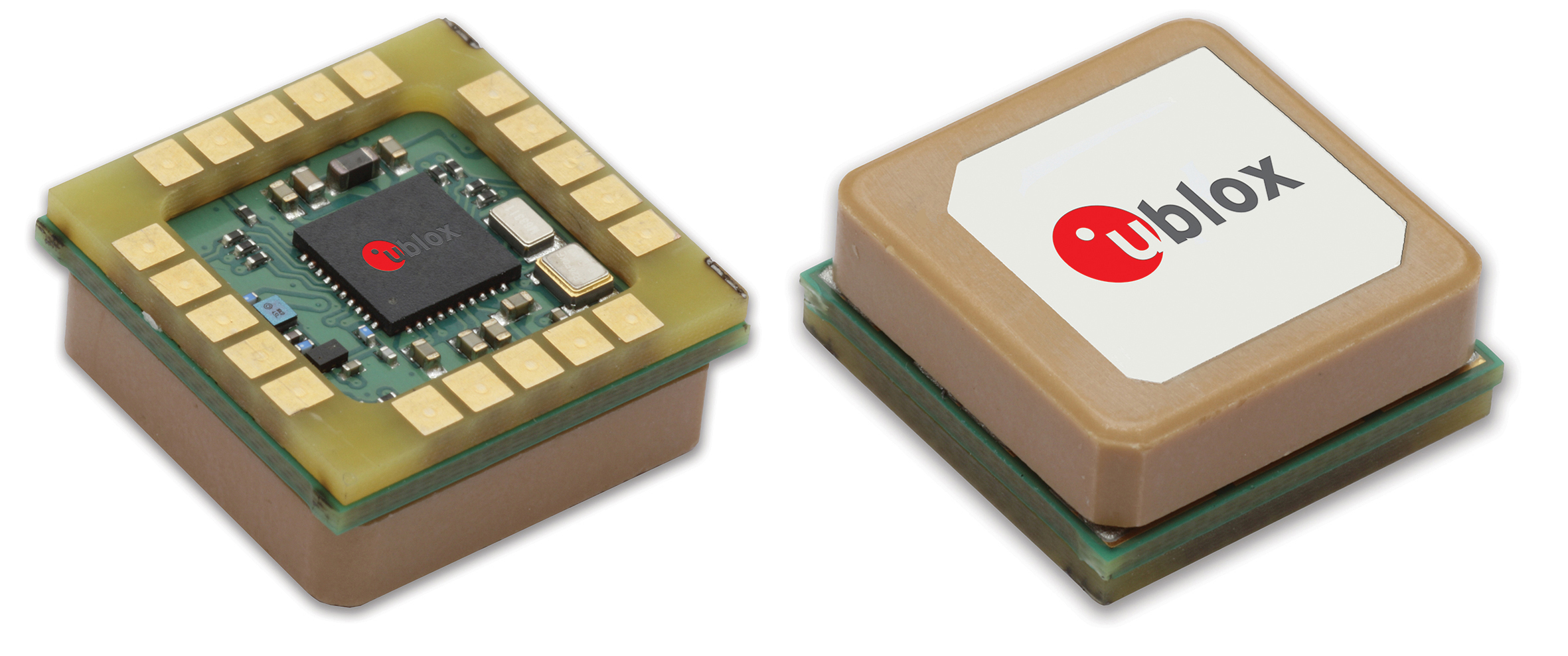
Oxford Technical Solutions Ltd. (OxTS) has announced its first inertial navigation OEM board set with integrated GNSS — the xOEM500, which the company is promoting at this week’s (October 7–9, 2014) Intergeo trade show in Berlin, Germany.

Read More >

By Inside GNSS
October 1, 2014

VectorNav Introduces Dual-Antenna GPS/Inertial MEMS Unit

VectorNav VN-300 GPS/MEMS IMU

VectorNav Technologies, now based in Dallas, Texas, offers the VN-30, a miniature dual GPS-aided inertial navigation system that combines MEMS inertial sensors, two high-sensitivity GPS receivers, and an onboard extended Kalman filter algorithms to provide estimates of position, velocity, and orientation for industrial applications.

Read More >

By Inside GNSS
[uam_ad id="183541"]
September 24, 2014

Kingfisher

Eugenia Acosta, an intern with Clearpath Robotics, unloads a Kingfisher unmanned vessel in preparation for a mission (top photo), the Kingfisher components and controller (bottom photo).

“Our products are robotic research platforms,” says Clearpath’s Meghan Hennessey. “These can be configured and programmed so that our customers can explore their particular areas of interest without all the cost and troubleshooting involved in actually building robots themselves.”

Hennessey says Clearpath platforms — which include the all-terrain Husky, the larger, tractor-like Grizzly and the waterborne Kingfisher — can be thought of as project kits.

Read More >

By Inside GNSS

Sensonor Upgrades MEMS IMU; STIM300 Featured in NovAtel, Norbit Systems

Sidescan image of Norbit Seahorse

Sensonor has announced new features for its STIM300, a small, lightweight micro-electro-mechanical system (MEMS) inertial measurement unit (IMU) that provides non-GPS–aided positioning in multiple domains.

The STIM300 — which can be used underwater, on land and sea, and in aeronautic and astronautic applications — now has real-time g-compensation in al axes and supports rates of up to 2000 degrees/second.

Read More >

By Inside GNSS

NovAtel’s Purves to Head Hexagon’s Veripos Operations

Graham Purves, new Veripos CEO

In his role as president of Hexagon Positioning Intelligence, Michael Ritter has announced the appointment Graham Purves as president & CEO of Veripos, effective September 9.

“Graham has amassed a tremendous level of experience in all aspects of our industry during his over 25 years at NovAtel,” said Ritter, who also serves as president and CEO of the Calgary, Canada–based NovAtel Inc. “This experience and especially his dexterity for sales, marketing, and business development are ideal prerequisites for this next step in his career.”

Read More >

By Inside GNSS
[uam_ad id="183541"]

KVH Launches 2 FOG IMUs

KVH Industries, Inc., headquartered in Middletown, Rhode Island, has introduced the 1725 Inertial Measurement Unit (IMU) and the 1775 IMU, advanced sensors designed to be integrated into a range of stabilization, pointing, and navigation applications.

The new products complement KVH’s 1750 IMU and create a range of choices for advanced six-degrees-of-freedom (6DOF) sensors with enhanced performance. All three products utilize the  E•Core ThinFiber technology of KVH’s DSP-1750 fiber optic gyro (FOG).

Read More >

By Inside GNSS

LocataNet-based White Sands High-Accuracy Reference System Nears Full Operation

The LocataNet installation at White Sands Missile Range (WSMR), New Mexico, has completed its final system verification testing and is on schedule to become a fully operational capability in January 2015.

The network serves as the Non-GPS Based Positioning System (NGBPS) subsystem for the Ultra High Accuracy Reference System operated by the Central Inertial and GPS Test Facility (CIGFT) at WSMR. An article in the May/June 2012 issue of Inside GNSS describes the design and testing of the system.

Read More >

By Inside GNSS

NovAtel Expands Pinwheel Antenna Product Line

NovAtel GPS-702-GG-HV

NovAtel Inc. has introduced the GPS-702-GG-HV to its line of high-performance Pinwheel antennas. Tracking L1/L2 GPS and L1/L2 GLONASS frequencies, customers can use the same antenna for GPS-only or dual-constellation applications, reducing equipment costs and need for future redesign. With the same form factor and choke ring performance as the company’s other Pinwheel antennas, the GPS-702-GG-HV has been enhanced to provide the robustness needed for use under high vibration conditions.

Read More >

By Inside GNSS

Topcon Launches Two UAS Mapping Systems

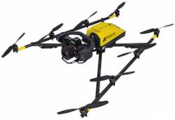
Topcon Positioning Group has released two unmanned aerial systems (UAS) for mapping — the Sirius Pro and Sirius Basic.  Both systems are designed to produce accurate solutions for the automated mapping of a wide range of sites — regardless of terrain — including construction sites, mines and quarries, and for use in land surveying, power line and pipeline inspection as well as precision agriculture field mapping.

Read More >

By Inside GNSS
1 43 44 45 46 47 65
IGM_e-news_subscribe