Hemisphere GNSS Announces Next-Generation S621 GNSS Survey Smart Antenna
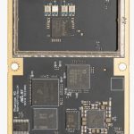
At last week’s INTERGEO expo and conference in Stuttgart, Germany and the ION GNSS+ conference in Miami, Florida, Hemisphere GNSS announced its next-generation multi-frequency, multi-GNSS S621 GNSS survey smart antenna. The all-new S621 is a complete redesign of the previous generation version (S321+) and offers added benefits and value to an already impressive range of features and functionality, according to the manufacturer.
By Inside GNSS