Survey and Mapping

ASCE -SPAR Geomatics Continuing Education Seminar
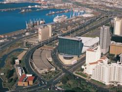
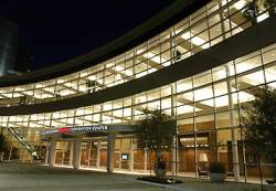
Marriott Convention Center

The American Society of Civil Engineers will offer a day-long program on Monday, March 21 at SPAR International 2011 that will focus on real-time GNSS positioning and using the 3D Global Spatial Data Model

Bill Henning, senior geodesist for the National Geodetic Survey, will lead  the morning session. With more than 43 years of experience in all phases of surveying technology, he is helping to develop guidelines and support methodology for real time GNSS position with state, national, and international organizations.

Read More >

By Inside GNSS
[uam_ad id="183541"]
January 11, 2011

Topcon and DICKEY-john Form Alliance Around Ag System Development

Topcon X30 controller

Topcon Positioning Systems (TPS) and DICKEY-john Corporation, an agricultural systems and machine control manufacturer based in Auburn, Illinois, have formed a strategic relationship in the agriculture industry.

Headquartered in Livermore, California, TPS recently unveiled its System 350 machine control system, which employs the company’s new X30 control console and its AGI-3 receiver for autosteering.

Read More >

By Inside GNSS
[uam_ad id="183541"]
September 7, 2010

NaviForum Shanghai 2010

A close brush by a passing typhoon on its opening day aside, NaviForum Shanghai 2010 mustered an impressive slate of senior executives from Chinese companies working in the navigation and telematics/location based services (LBS) field.

Read More >

By Inside GNSS
August 14, 2010

Map Africa 2010

Map Africa 2010 conference and exhibition will take place at the Cape Town International Convention Centre (CTICC) in the center of Cape Town, South Africa on November 23-25, 2010.

The theme is "Geospatial Readiness for Building Africa." The conference will focus on the most pressing areas that contribute to the nation’s growth, such as infrastructure and utilities, cadastral mapping, land information management system (LIS), land policies, mining and exploration and emergency management.

Read More >

By Inside GNSS
July 30, 2010

China’s BeiDou Nav Satellite System to Cover the World in 2020

[Reprinted with permission NAVIBIZ, Issue Date: 2010-6-7]

China is building up its global satellite navigation system BeiDou (COMPASS) that is intended to cover the world by 2020. That’s the word from the country’s first Satellite Navigation Conference, in Beijing. Developed and operated by China, BeiDou is designed to provide accurate real-time military and civil service to national security, social and economic development.

Read More >

By Inside GNSS
1 20 21 22 23 24 29
IGM_e-news_subscribe