Global Navigation Satellite Systems Engineering, Policy, and Design
Global Navigation Satellite Systems Engineering, Policy, and Design

 The KU Leuven Ecochallenge team. Photo source: Septentrio.
 Septentrio recently awarded the KU Leuven Ecochallenge team – the winners of the Galileo Masters (Flanders Challenge) of the European Satellite Navigation Competition (ESNC) – a special prize of an AsteRx-m UAS receiver for their proposal to use high-precision, high-reliability Galileo receivers to modernize inland waterway transport by introducing autonomous technology for the vessels.
By Inside GNSS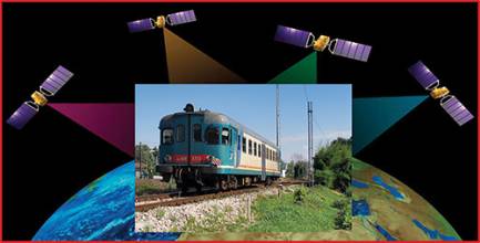
 Demo Test in Italy on Cagliari – Decimomannu line – February 24, 2017. From left: Josef Doppelbauer (Executive director of ERA – European Union Agency for Rail), Maurizio Gentile (Chief Executive Officer of RFI – Rete Ferroviaria Italiana), Jean-Pierre Loubinoux (Director General of UIC – the worldwide professional association representing the railway sector and promoting rail transport), Carlo des Dorides (Executive director of GSA).
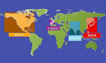
It’s been a big couple of weeks for second-generation satellite-based augmentation system (SBAS) technology and for Bethesda, Maryland-based global security and aerospace company Lockheed Martin.
By Inside GNSS
The Federal Railroad Administration (FRA) last week released a status update that calls for railroads to roll out Positive Train Control (PTC) technologies, which incorporates GNSS technology, as soon as possible. The update also underscores the Obama administration’s calls to provide more funding to assist commuter railroads in implementing PTC.
PTC uses GNSS, but mostly GPS, to prevent train-to-train collisions, high-speed derailments, and the unauthorized movement of trains into work zones.
By Inside GNSSAnyone who has sat through several iterations of a slide presentation by the Federal Aviation Administration (FAA) can’t help but wonder if there isn’t a better way to do things.
As speakers flip through an exhaustively vetted series of PowerPoint slides, squeezing out a new bullet point or two from one version to the next six months later, watching paint dry seems like a more productive — and briefer — use of one’s time. The agency sometimes brings a whole new meaning to the concept of geological time.
By Dee Ann Divis
The European Space Agency (ESA) has launched a new initiative to support space-based enhancements to Europe’s railway network.
Space4Rail will highlight ESA funding programs that could support the use of GNSS in rail applications while raising awareness of the added value that space systems can deliver.
By Inside GNSS
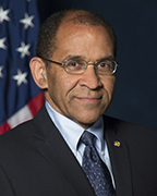 NTSB Chairman Christopher Hart
Once again, the National Transportation Safety Board (NTSB) has recommended GPS-aided positive train control (PTC) as one of its “most wanted” transportation safety improvements in 2016. But the agency, which has been advocating for PTC for more than 45 years, appears to be fighting an uphill battle against Congress and the railroad industry.
By Inside GNSS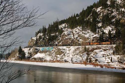
When the President signed a three-week extension — until Friday (November 20, 2015) — of federal transportation funding, he also gave railroads another three years to install positive train control or PTC on their locomotives and rail networks.
Rail operators now have until 2018 to upgrade their systems — plus another two years to actually get them working.
By Inside GNSSA Federal Register notice published yesterday (August 18, 2015) seeking comment on plans to shut down a large portion of the Nationwide Differential GPS (NDGPS) network marks the effective end of a program that spurred a hard-fought controversy in the era of Selective Availability (SA).
By Inside GNSS
Only a small percentage of railroads are expected to obtain system certification and complete implementation of GPS-aided positive train control (PTC) systems by the current deadline at the end of this year, according to a recent report to Congress by the Federal Railroad Administration (FRA).
By Inside GNSS
Google has agreed to integrate into its mapping services geographic information system (GIS) data from the Federal Railroad Administration (FRA) that pinpoints the location of the nation’s approximately 250,000 public and private railroad crossings.
By Inside GNSS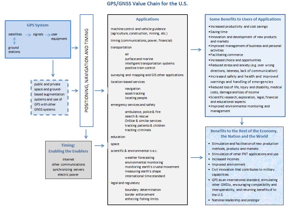
GPS contributed more than $68 billion to the U.S. economy in 2013, according to the preliminary results of a new study presented to the National Space-Based Positioning, Navigation, and Timing (PNT) Advisory Board.
And the study’s author, Irv Leveson, a consultant to ASCR Federal Research and Technology Solutions, LLC, described that figure as conservative because it did not fully incorporate a host of GPS applications including those depending on GPS timing information.
By Inside GNSS