December 24, 2021
Air Force Contracts for Advanced Navigation in GPS-Denied Environments
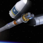
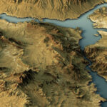
Intermap Technologies, a provider of geospatial content development and intelligence solutions, received a prime contract with the U.S. Air Force to support the Air Force Research Laboratory (AFRL) in its development of navigation solutions for GPS-denied environments.
By Inside GNSS