Creation of new global navigation satellite systems and modernization of existing ones is introducing many new signals across a wide swath of RF spectrum now and in the near future. These developments are accompanied by a growing need to design new GNSS receivers that can work with new signal structures on an increasing number of frequencies.
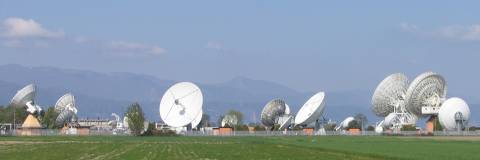
Europe’s Galileo program has supported a number of activities intended to promote innovations in receiver design, such as prototype Galileo user equipment, reference receivers, and so on.
Creation of new global navigation satellite systems and modernization of existing ones is introducing many new signals across a wide swath of RF spectrum now and in the near future. These developments are accompanied by a growing need to design new GNSS receivers that can work with new signal structures on an increasing number of frequencies.
Europe’s Galileo program has supported a number of activities intended to promote innovations in receiver design, such as prototype Galileo user equipment, reference receivers, and so on.
One such activity is a project named ARTUS (Advanced Receiver Terminal for User Services), 50 percent of which is financed by funds allocated by the Galileo Joint Undertaking (GJU). A consortium of four companies is leading the ARTUS project (see "Acknowledgments" below)
ARTUS supports the development of receiver technologies to aid the research and development activities for Galileo “professional” receivers. These efforts are designed to facilitate the availability of Galileo professional receiver prototypes and antennas at an early stage.
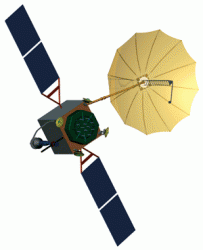
ARTUS provides Galileo/GPS navigation capability. All three Galileo frequencies (L1, E6 and E5a/E5b) are supported as well as the GPS L1, L2 and L5 (L5=E5a) frequencies.
The receiver supports any BPSK (GPS-C/A, Galileo E5a and E5b (sideband tracking), AltBOC (E5ab), Galileo L1-B/C (BOC(1,1)) as well as BOCc(15,2.5) (E1-A / E6-A); GIOVE-A transmits BPSK (E5a/E5b/E6) and BOC(1,1) (E1).
Although the receiver can track the modulations foreseen for the PRS, it cannot generate the corresponding codes. One can, however, do performance measurements using periodic substitute codes.
Although not initially planned, the consortium has decided to also implement the GPS L2 band for commercial reasons. The unit performs the measurements and processes the raw data to provide an RTK solution.
The Artus design will also form the basis for a breadboard development of the next generation RIMS receivers. This development will be conducted in the frame of an ESA contract lead by IFEN with NemeriX and Euro Telematik as subcontractors.
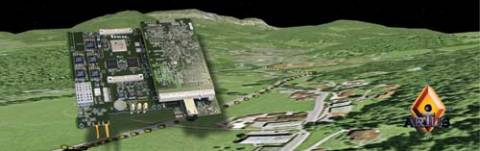
This article describes the design and operation of the second-generation ARTUS receiver with a particular focus on innovations in four key areas: antenna, RF front-end, digital baseband processing, and navigation software.
Although originally intended to focus primary on tracking Galileo and GPS signals, the flexible design of ARTUS also allows it to receive and track signals from the Russian GLONASS system and China’s Beidou.
After discussing the receiver design and operation, we will briefly describe some of the results of testing using combinations of laboratory GNSS signal simulators, signals-in-space, and simulated signals generated in the German Galileo Test Bed (GATE). . .
Conclusion
The ARTUS GNSS receiver described in this article offers a rich flexibility for various configurations of signals on different RF bands. The high performance antenna in conjunction with a flexible RF front-end design offers excellent performance on all currently available GNSS signal bands, including the upcoming Galileo system.
With the availability of up to 120 channels, the receiver is well equipped for future navigation systems; however, it can also be configured in a version with only 20 or 40 channels for tracking the currently available GPS (L1 and L2) alone.
The modular concept, applied even for the firmware of the baseband processor FPGAs, allows easy adaptation of the algorithms developed for the ARTUS receiver or fast implementation of new algorithms. And if the IP protocol is used, any user interface can easily connect — even remotely — to the receiver — whether for navigation or monitoring purposes.
The ARTUS project is now in its qualification phase. Further developments aim for the commercialization of the receiver.