October 12, 2012
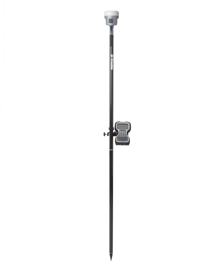
Trimble R10 rover
Trimble Introduces Next Generation GNSS Survey, Datalink, Mapping Solutions
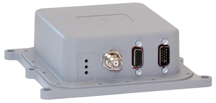
Trimble R10 roverTrimble has introduced its next-generation GNSS surveying solution — the Trimble R10, a small, lightweight receiver that introduces new features and technologies, including Trimble HD-GNSS, Trimble SurePoint, Trimble 360, and Trimble xFill, to provide increased productivity.
Announced at the Intergeo 2012 conference in Hannover, Germany, this week, introduction of the Trimble R10 was accompanied by new versions of its field and office software — Trimble Access 2012.20 and Trimble Business Center 2.80 to extend Trimble’s Connected Site survey solution.
By Inside GNSS