July 10, 2014
Seminar: Reference Frames, Positioning and Navigation
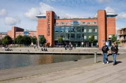
This one-day seminar on Reference Frames, Positioning and Navigation will be held on September 3, during the Nordic Geodetic Commission (NKG) General Assembly, which runs from September 1 through 4 at Chalmers Technical University in Gothenburg.
By Inside GNSS