Special Report: UAS in the NAS
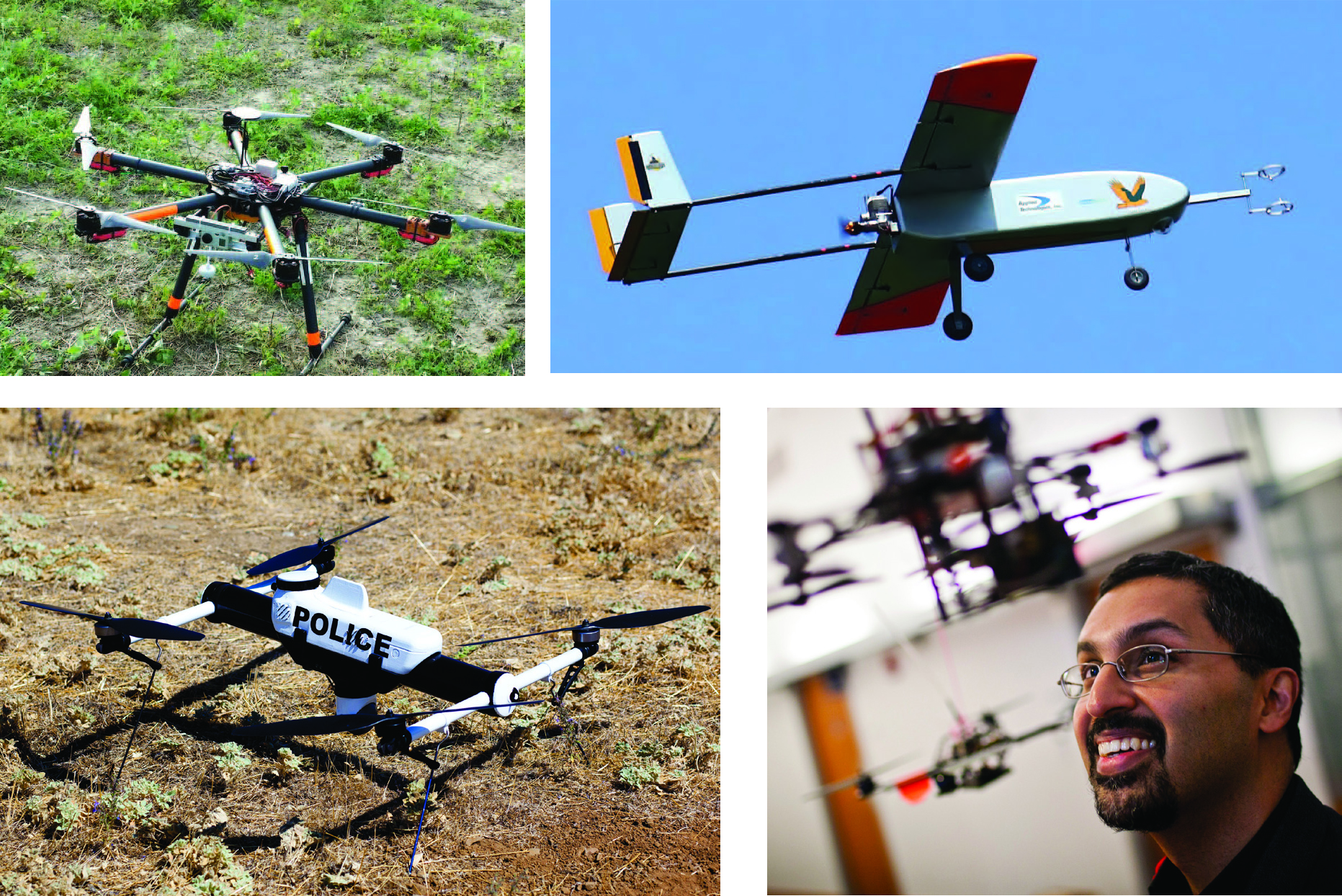 Clockwise from top left: A small drone rests on the ground during a demonstration in Florida, The Golden Eagle, a UAV developed at Clarkson University, takes wing, Nick Roy smiles at a drone in a lab at MIT, The Qube unmanned aerial vehicle by AeroVironment.
BY THE NUMBERS
By Inside GNSS