December 5, 2015
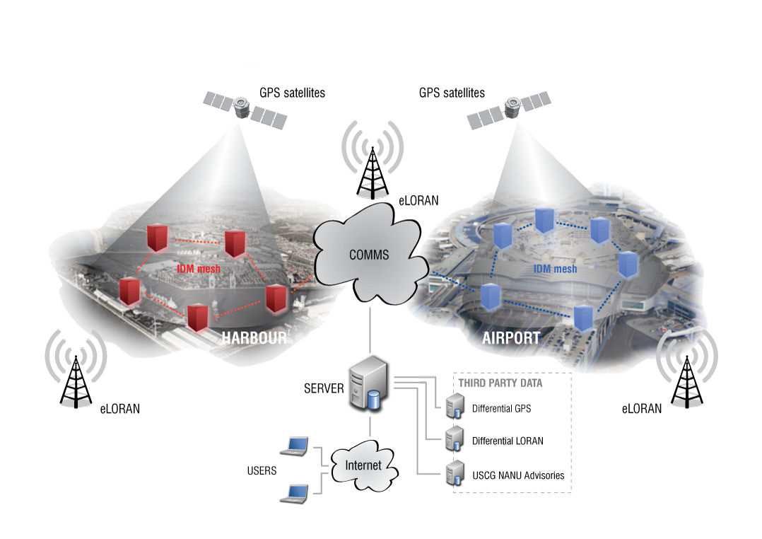
Trans-Atlantic eLoran Joint Venture Seeks to Augment GNSS, Build Robust PNT
The founders of Chronos and UrsaNav announced a new collaboration yesterday (December 3, 2015) intended enhance the resilience and reliability of space-based positioning, navigation, and timing (PNT) services.
By Inside GNSS