Global Navigation Satellite Systems Engineering, Policy, and Design
Global Navigation Satellite Systems Engineering, Policy, and Design

Federal budgeteers have made clear their support for satellite navigation though problems with military space programs in general, and GPS programs in particular, have lawmakers working to shake up the Pentagon’s management structure and put limits on new federal business to contractors whose projects go awry.
By Dee Ann Divis
A government report commissioned by Innovate UK, along with the UK Space Agency and the Royal Institute of Navigation, entitled “Economic impact to the UK of a disruption to GNSS”, comes in the wake of troubling incidents for GNSS operators, both the United States and Europe.
Last year a problem with the GPS satellite timing signal triggered alarms and caused an unknown number of outages, and in Europe earlier this year the fledgling Galileo signal crashed due to unspecified ground facility issues.
By Peter Gutierrez
L3 Interstate Electronics Corporation announced on Tuesday (July 25) that its TruNav GPS is the company’s first Military Code (M-Code) compatible GPS receiver to guide a gun-launched spinning projectile to a target. The guided flight test was conducted at Yuma Proving Grounds by the U.S. Army as part of a series consisting of both guided and unguided rounds.
By Inside GNSS
The Academy of Model Aeronautics (AMA), DJI, and Fly-Robotics will be presenting a public safety training workshop as part of the pre-conference offerings at Drone World Expo 2017, taking place October 3-4 at the San Jose Convention Center. The workshop will be held on Monday, October 2, from 9am – 12 pm and 1pm – 4 pm.
By Inside GNSS
Sponsored by the International Committee for Airspace Standards and Calibration (ICASC) and hosted by the Institute of Navigation (ION), IFIS 2018 is the 20th International Flight Inspection Symposium and serves as a credible international forum that promotes a better understanding of the technologies and environmental issues impacting global flight inspection operations.
By Inside GNSS
 The R&S TS-LBS is a test system for testing GNSS and network-based LBS. Photo: Rohde & Schwartz.
Rohde & Schwarz and MediaTek have successfully completed the verification of location based services (LBS) in the U-plane and C-plane for A-BeiDou (Assisted BeiDou), China’s GNSS satellite positioning system. The R&S TS-LBS test solution is designed to allow mobile manufacturers, chipset manufacturers, test houses and network operators to verify chipsets and mobile devices in order to obtain permission to operate them in a particular network.
By Inside GNSS
This has been a productive year so far for Australia in terms of GPS breakthroughs, but plans are in place for the country to continue to make big strides in GPS technology and precise positioning programs.
Spatial Source — Australia and New Zealand’s first website covering the geospatial, surveying, GIS and mapping communities — reports that Australia officially has its first GPS infrastructure in space, according to the nation’s Minister for Defence Industry Christopher Pyne.
By Inside GNSS Photo courtesy of Los Angeles Air Force Base.
This notice informs the public that the Global Positioning Systems (GPS) Directorate will host the 2017 Public Interface Control Working Group and Open Public Forum on September 6-7, 2017 for the following NAVSTAR GPS public documents: IS-GPS-200 (Navigation User Interfaces), IS-GPS-705 (User Segment L5 Interfaces), ICD-GPS-240 (NAVSTAR GPS Control Segment to User Support Community Interfaces), and ICD-GPS-870 (NAVSTAR GPS Control Segment to User Support Community Interfaces). Additional logistical details can be found below.
By Inside GNSS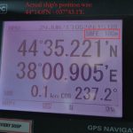
After reports of an apparent mass and blatant GPS spoofing attack involving more than 20 vessels in the Black Sea last month, navigation experts and maritime executives are scratching their heads and the president of the Resilient Navigation and Timing (RNT) Foundation is hoping this latest incident will help spur more action toward building an eLoran complement and backup for GPS.
By Inside GNSS The R&S ZNLE vector network analyzer. Photo: Rohde & Schwarz
Rohde & Schwarz has launched the R&S ZNLE vector network analyzer to address the requirements of customers looking to perform RF measurements to characterize components such as antennas, attenuators, filters and PCBs. The new standalone instrument weighs 6 kilograms and has a footprint of just 408 millimeters x 235 millimeters, saving up to two thirds of space on the workbench compared with competitive VNAs, according to the company.
By Inside GNSS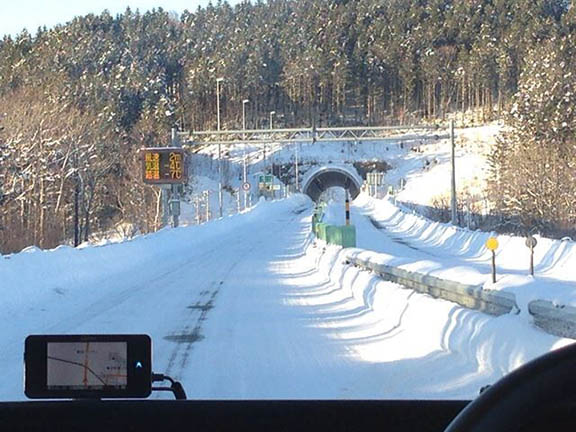 Mobile GNSS Field Data Set being tested in the winter. Photo: Lighthouse Technology and Consulting
 Lighthouse Technology and Consulting Co., Ltd is proceeding with a program to collect precise GNSS data on major highways in Japan. The data is an inevitable “must use” tool for high precision positioning systems used in automated driving vehicles.
While the major part of autonomous driving systems consists of sensors and image recognition technologies, satellite positioning is also a key element used for complementing the precise current position.
By Inside GNSS

The 2017 EGNOS Annual Workshop, the annual meeting for EGNOS stakeholders, users and application developers, is coming up this October in Athens, Greece. Organized by the European Satellite Services Provider (ESSP) and the European GNSS Agency (GSA), the event will include information about EGNOS services status, applications and success stories from partners currently using EGNOS in real applications.
By Inside GNSS