A: System Categories Archives - Page 178 of 195 - Inside GNSS - Global Navigation Satellite Systems Engineering, Policy, and Design

A: System Categories

April 10, 2009

Air Force Secures ITU Filing with GPS L5 Signal Transmission

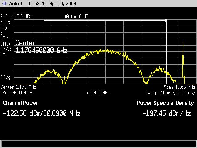
Time Series and Power Spectrum of the L5 Demonstration Signal

The GPS IIR-20(M) satellite successfully transmitted for the first time a GPS signal in the L5 frequency band today (April 10), according to the U.S. Air Force operators of the Global Positioning System. L5, the third civil GPS signal, will eventually support safety-of-life applications for aviation and provide improved availability and accuracy to users.

Read More >

By Inside GNSS
April 9, 2009

GPS L5 Signal Goes on the Air April 10

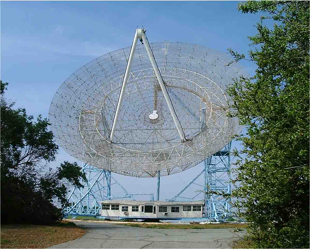
Stanford “Big Dish” Antenna

U.S. Air Force officials are moving quickly to turn on the new civil GPS L5 signal after lengthy delays due to technical problems had brought the program close to an International Telecommunications Union (ITU) deadline for transmitting on the frequency.

The Air Force plans to begin transmitting the signal at 5 a.m. (PDT) on April 10 using the Block II R-20(M) satellite launched March 24. An L5 signal demonstration is planned the same day, organized by the GPS Wing and SRI International. The L5 spectrum will be received and plotted at the SRI’s 150-foot “big dish” antenna facility in the hills over looking Stanford University, California.

Read More >

By Inside GNSS

earthmine Launches 3D Mapping System Driven by GPS, Inertial

John Ristevski

Privacy rebellions such as recently drove a Google Street View crew from Broughton, England, or security-oriented legislation that would require blurred features or position accuracy in commercial imagery is just part of the market environment for 3-D mapping company earthmine, Inc., which is moving out of beta mode into full-fledged operations.

Read More >

By Inside GNSS
[uam_ad id="183541"]

An Expanding CAST Navigation Moves to New Facilities

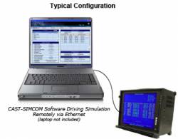
CAST Navigation LLC is relocating to expanded facilities as a result of increased demand for the company’s GPS simulators, GPS/INS navigation test equipment, and embedded GPS/inertial (EGI) integration tools.

Effective April 20, the new physical location for the CAST Navigation team will be: One Highwood Drive, Suite 100, Tewksbury, MA 01876. Phone contact is 978-858-0130. Faxes may be sent to 978-858-0170; website, <www.castnav.com>.

Read More >

By Inside GNSS
March 30, 2009

Geotagging: u-blox Buys Geotate

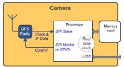
Typical implementation of geotagging in camera. Source: Geotate

In a €5.5-million cash deal, u-blox AG, of Thalwil, Switzerland, has acquired Geotate B.V. and its patented technology and products in the area of software GPS and geotagging GPS.

The acquisition will enable u-blox to expand its position in consumer markets with geotagging solutions for digital camera manufacturers and other portable device manufacturers.

Read More >

By Inside GNSS
March 26, 2009

European Court of Auditors Lambastes Galileo Satellite Navigation Program

European Court of Auditors, Luxembourg

Here’s an interesting document: Preliminary observations on “The management of the Galileo programme’s development and validation phase,” adopted at its January 21–22 meeting by the European Court of Auditors (ECA).

If you’re the kind of person who wakes up in a strange room after a night on the town and wonders how you got there, you’ll want to take in the full 50-page report and six addenda.

Read More >

By Inside GNSS
[uam_ad id="183541"]
March 24, 2009

SSTL Leads Team Developing GNSS-Based Remote Sensing of Sea State

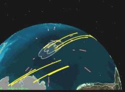
Sea State Monitoring

Surrey Satellite Technology Limited (SSTL) will lead a British project to exploit signals from GPS and other GNSS satellites that are reflected from the Earth for remote sensing purposes.

The project will investigate a prototype instrument capable of measuring the roughness of the sea and soil moisture content, providing data for atmospheric science and for operational ocean and weather forecasting.

Read More >

By Inside GNSS

OnPOZ Offers Free ArcPad GNSS Driver Extension

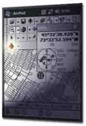
Montreal, Quebec, Canada–based OnPOZ Precision Positioning has released, GNSS Driver for ArcPad, a new extension to the ESRI product that allows GNSS post-processing using different GNSS receiver brands.

The receiver-independent extension can significantly improve GNSS/GIS data accuracy and reliability, logging real-time positions, metadata, and all GNSS observations in order to increase the reliability and accuracy of GNSS positions by post-processing ESRI Shapefiles.

Read More >

By Inside GNSS

GPS Satellite with L5 Payload Launches Successfully

Block IIR-20(M) launch from Cape Canaveral. Photo by Carleton Bailie, United Launch Alliance.

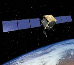
GPS program managers and users — especially the U.S. civil aviation community — can breathe a sign of relief following the successful launch Tuesday (March 24) of a satellite carrying a demonstration payload of the new L5 signal.

Built by the Lockheed Martin Company, the modernized Block II replenishment spacecraft, GPS IIR-20(M), is moving toward plane B, slot 2 to replace space vehicle number (SVN) 30. If all goes well, U.S. Air Force controllers expect to set the satellite healthy for navigation users worldwide next month.

Among other signals and capabilities, the IIR-20(M) will be the first to transmit the new GPS civil signal centered on 1176.45MHz (±12 MHz) within the protected aeronautical radionavigation service (ARNS) band. This so-called L5 signal will provide a second safety-of-life signal that meets the technical requirements for enabling aircraft to make precision landings in high multipath environments.

Read More >

By Inside GNSS
March 19, 2009

Hemisphere GPS Reports Record Revenues

Steve Koles, Hemisphere GPS president & CEO

Hemisphere GPS has reported a 35 percent increase in revenues in 2008 — to a company record of US$72.7 million, versus $53.7 million the previous year. According to the company, 2008 growth was driven by strong market fundamentals in agriculture, including higher farm incomes.

Read More >

By Inside GNSS
March 18, 2009

More Problems with GPS IIF; IIR-(20)M Is L5’s Plan B

Just when you thought it was safe to go back in the water . . .

Discovery of a power anomaly in signal generator of the first GPS Block IIF space vehicle (SV) has thrown a new wrinkle into the long-delayed follow-on generation of spacecraft.

Meanwhile, it’s all systems go (and all fingers crossed) for launch of a modernized Block IIR satellite IIR-20(M) with the demonstration L5 navigation payload designed to secure priority GPS access to the frequency.

Read More >

By Inside GNSS
IGM_e-news_subscribe