September 6, 2014
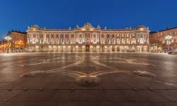
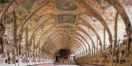
The Antiquarium in the Residenz München
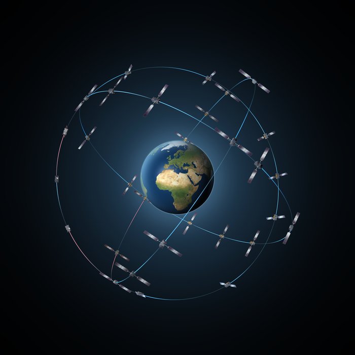
Munich Satellite Navigation Summit 2015
The Antiquarium in the Residenz MünchenThe Munich Satellite Navigation Summit will take place at the Residenz Muenchen in Munich, Germany on March 24 – 26, 2015.
The theme for this year’s summit is “Future of PNT – A Glance into the Crystal Ball”.
The technical program includes plenary discussions and updates on the main activities in worldwide satellite navigation systems, including:
By Inside GNSS