Precise GNSS measurements have revealed that the severe drought gripping the western United States in recent years is changing the landscape well beyond localized effects of water restrictions and browning lawns, according to scientists at Scripps Institution of Oceanography at the University of California at San Diego.
Precise GNSS measurements have revealed that the severe drought gripping the western United States in recent years is changing the landscape well beyond localized effects of water restrictions and browning lawns, according to scientists at Scripps Institution of Oceanography at the University of California at San Diego.
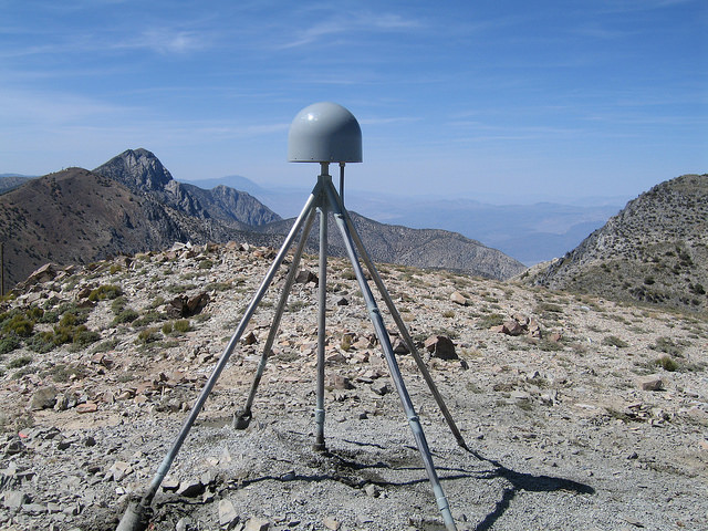
In an study published in Thursday (August 23, 2014) in the journal Science, researchers have now discovered that the growing, broad-scale loss of water is causing the entire western U.S. to rise up like an uncoiled spring. An article by Kristine Larson, University of Colorado, in the current issue of Inside GNSS describes how GNSS stations established by the National Science Foundation’s Earthscope Plate Boundary Observatory (PBO) are used to measure soil moisture and other physical characteristics of the Earth’s surface.
Investigating ground positioning data from high-precision GPS stations throughout the western United States, Scripps researchers Adrian Borsa, Duncan Agnew, and Dan Cayan found that the water shortage is causing an “uplift” effect up to 15 millimeters (more than half an inch) in California’s mountains and on average four millimeters (0.15 of an inch) across the West.
From the GPS data, they estimate the water deficit at nearly 240 gigatons (63 trillion gallons of water), equivalent to a four-inch layer of water spread out over the entire western United States.
Results of the study, which was supported by the U.S. Geological Survey (USGS) National Earthquake Hazards Reduction Program, appeared in the August 21 online edition of the journal Science. An earlier, more forcused study by NASA Jet Propulsion Lab authors published in Geophysical Research Letters found a similar effect in the reduction of the total weight of winter snowpack and soil moisture in California’s Sierra Nevada mountains.
While poring through various sets of data of ground positions from highly precise GPS stations within the PBO and other networks, Borsa, a Scripps assistant research geophysicist, kept noticing the same pattern over the 2003–2014 period: All of the stations moved upwards in the most recent years, coinciding with the timing of the current drought.
Agnew, a Scripps Oceanography geophysics professor who specializes in studying earthquakes and their effects on shaping the earth’s crust, says the GPS data can only be explained by rapid uplift of the tectonic plate upon which the western U.S. rests. (Agnew cautions that the uplift has virtually no effect on the San Andreas fault and therefore does not increase the risk of earthquakes.)
For Cayan, a research meteorologist with Scripps and USGS, the results paint a new picture of the dire hydrological state of the west.
“These results quantify the amount of water mass lost in the past few years,” said Cayan in a Scripps Oceanography news release. “It also represents a powerful new way to track water resources over a very large landscape. We can home in on the Sierra Nevada mountains and critical California snowpack. These results demonstrate that this technique can be used to study changes in fresh water stocks in other regions around the world, if they have a network of GPS sensors.”


