May 14, 2025
u-blox Introduces PointPerfect Global GNSS Correction Service Portfolio
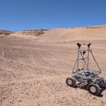
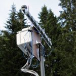
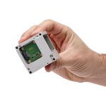
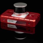
New service delivers high-precision positioning for precision agriculture, UAVs, and autonomous robotics designed for use with the u-blox ZED-X20P GNSS receiver.
By Inside GNSS