Topcon Positioning Systems is aiding emergency response crews responding to California’s waves of weather disasters by providing free subscriptions to the Topnet Live RTK GNSS corrections service enabling crews to quickly make critical measurements.
The corrections service allows emergency response crews and others to get real-time GNSS corrections for GNSS receivers without setting up their own mobile base station.
“If they’re in a situation where they’ve got a base and a rover, there’s an opportunity for them to convert the base over to another rover, so now they can have two rovers instead of one, and they can get twice as much work done that way,” said Jason Killpack, director of business development, emerging business, at Topcon.
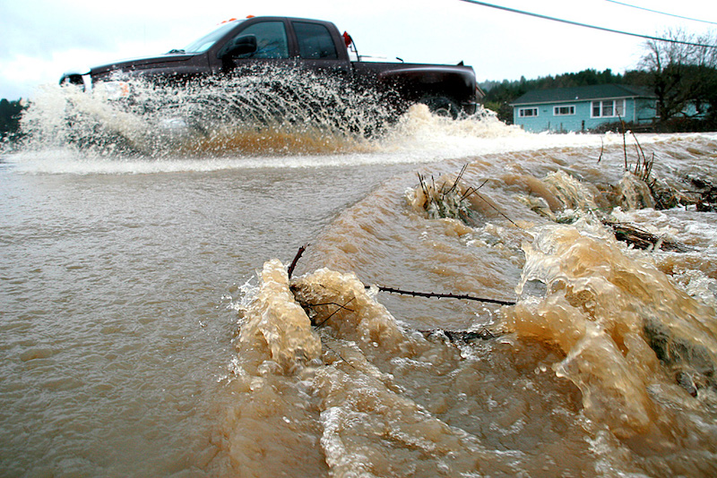
Time is of the essence as California is battered by repeated “atmospheric rivers,” which are destroying houses and potentially shifting roads and bridges. Reconstructing California’s battered infrastructure will require precise measurements.
“The people using our services aren’t all scientists, but they are making measurements, and we’re trying to make that ability to make those measurements on the ground where they are as easy as possible,” Killpack said.
Topcon had an internal demand for making Topnet Live subscriptions free to essential emergency response agencies and personnel in designated disaster areas. Topnet Live offers customers access to both Rinex files for post processing as well as RTK corrections simultaneously. PPP correction services are also available through Topcon for Topcon receivers although not part of the emergency subscription release for Topnet Live at this time.
The idea initially arose at an Americas network dealer meeting in December in Miami, and was one of the requests that came from Topcon dealers in the Caribbean, Florida and Mexico, which had been affected by hurricanes in the past. When the weather disasters began to hit California in January, the emergency subscriptions—good for 90 days from user activation, but which can be extended if needed—were put into play.
“If there is a demand there, that they need more, or it’s been well adopted, we’ll happily add more at a later date,” Killpack said.
The company selected five of its distributors in California, three that are more in tune with the construction industry, machine control and heavy equipment operators, and two that had more relationships with the professional measurement, mapping and surveying community.
“We decided that was the right thing to do,” Killpack said. “We made that announcement in December at the meeting, and in January, in California… there were just massive storm activities, mudslides. We turned on the switch and…let loose 100 emergency subscriptions per distributor.”
Speed of Response
The main advantage of the free subscriptions, aside from corrected measurements, is speed.
Emergency responders are often from out of the state or the area, “and they’re going to land on the ground and they’re going to go to an area that’s been impacted, and they have to create an ‘as-built’…here’s the existing ground right now, and then they’re going to compare that to what they have in the plan file for that road, or that bridge or that levee,” he said.
“Sometimes the damage isn’t visible,” Killpack said. “You can have subsidence of a whole road or a stretch of road, and it sloughed off the side of a hill two or three feet, and you only see a crack on one end or the other of the road. And that’s all you see. Nothing else looks out of place, but they’ve got to go measure that whole road to figure out if it actually moved.”
Typically, a response or repair crew would use a base and a rover and would need to set up the base station and then walk around with the rover to localize to the job. Tapping into Topnet Live speeds up that process in several ways.
“In the case of a road, you might need to close lanes with flaggers…that adds the cost and time and consternation, but roughly half the time is needed, or less, because you don’t have to set up half of the equipment and you don’t have half of the responsibilities of the extra batteries. You don’t have to worry about the radio frequency that you’re on. There are quite a few things that a network rover solution solves for a user.”
The sheer amount of water that has dumped on California since early in the year has threatened levees across the state, and monitoring whether those levees—many old, and built of earthen material—is critical to preventing flooding downstream; any movement would need to be red-flagged as a potential problem.
The measurements can also aid the state as it moves forward to understand and repair the damage caused by months of deluge.
“If you submerge an engineered roadbed for weeks or days at a time, and then drain the water off and then start running tons of vehicles over it every hour, that’s going to change the dimension of that roadbed,” Killpack said. “Because the drainage didn’t happen the way it was designed. It was inundated and flooded, and now it’s not the same roadbed.”
Bridge crossings are also areas of potential damage, as millions or trillions of gallons of water may have poured through a given area. A bridge may look undamaged but it could have moved slightly, imperceptibly, which could still have a devastating impact on its structure that might not be revealed until a later catastrophe.
“The way we can find out and know more about what the impacts and the damages are by understanding, measuring and comparing,” Killpack said.
Lessons Learned
The company will study the lessons learned from California and see how it can improve. “We are going to evaluate and study lessons learned from this California experiment and move beyond that,” he said. “We have a global network, so we’ve got network corrections all over Europe. We’ve got network corrections in the Americas, and we’ll soon have network corrections in Asia. Anywhere there are people and there’s the possibility of safety of life [issues], we want to make sure that we go about this in the right way and offer any support that we can, depending on the severity of the circumstance.
“…In times of need, we want to be a steward to the area where we’re doing our business. And if we can be of help with these emergency subscriptions, that’s the direction we want to go.”
Photo credit: Terrence McNally, CC BY 2.0, via Wikimedia Commons


