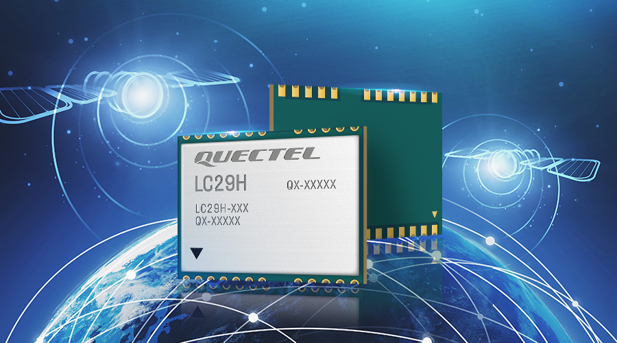
The new LC29H dual-band, high precision GNSS module from Quectel Wireless Solutions, which optionally integrates RTK and DR, provides precise positioning at the centimeter and decimeter levels.
The module was built on the Airoha AG3335 and is available in multiple variants, according to a news release. The series of high-performance, power-efficient solutions is well suited for a variety of industrial and autonomous applications, including drones, precision agriculture, autonomous lawn mowers, micro-mobility and delivery robots.
The LC29H concurrently receives and processes signals from GPS, GLONASS, BeiDou, Galileo and QZSS constellations. That, along with the support of SBAS, maximizes satellite signal availability. The module supports L1 and L5 dual-band signal reception, allowing terminals to speed up convergence time, improve positioning accuracy and achieve fast response times even when the signal is interrupted. The dual band design mitigates the multipath effect near high-rise buildings or in deep urban canyons, and provides reliable positioning performance.
Some versions of the module contain 6-axis IMU inertial sensors (3-axis accelerometer and 3-axis gyroscope) and integrate RTK and DR positioning algorithms. This allows for continuous, accurate lane-level positioning in situations where the satellite signal is partially or completely blocked, such as underground parking lots, tunnels, urban canyons and forests. When the satellite signal is re-acquired, the module combines inertial sensor data with GNSS signals. The integrated navigation can provide fast convergence times and decimeter level positioning accuracies.
The LC29H has a built-in LNA and an internal SAW filter for high sensitivity and positioning accuracy when used with a passive antenna.
The module adopts a 12nm process, dual-frequency receiver chip and advanced low-power management to enable low-power GNSS sensing and position fixing. This makes the module an optimal solution for power-sensitive and battery-powered devices including handheld devices, asset trackers and shared vehicles.
The LCC form factor and footprint size of 12.2 mm × 16.0 mm × 2.5 mm allows for easy system integration and smooth legacy design migration.
The LC29H variants target different application. The LC29H(EA) offers a solution for agricultural drones as well as electricity power detection terminals and can improve the anti-interference capability of complex systems. The LC29H(BA) is well suited to agricultural machinery and specialized vehicles, and the LC29H(DA) can enable centimeter-level accuracy in connected lawnmowers and safety helmets.
LC29H can be bundled with Quectel’s off-the-shelf and customized GNSS antennas.
“High precision positioning with centimeter level accuracy is becoming increasingly vital for many new IoT applications,” Quectel CEO Patrick Qian said, according to the release. “With our focus of providing best-in-class, easy-to-use and affordable solutions to our customers, we believe the IoT market is ready for mass adoption of cm-level positioning modules for a wide range of scenarios.”


