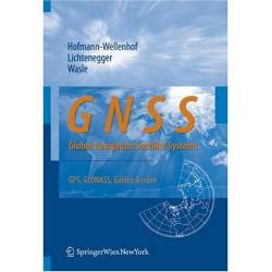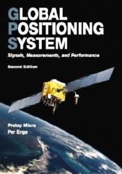
This book is a welcome addition to the GNSS textbook literature by the team of authors who have since 1992 produced five editions of an excellent book on GPS targeting high precision users, Global Positioning System (GPS): Theory and Practice. Hofmann-Wellenhof is also the lead author of the 2003 book, Navigation, and for the second edition of the classic Physical Geodesy (2006).
By
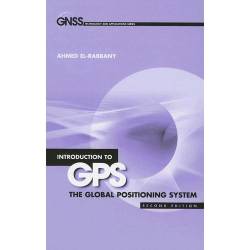
As an engineer, I always believed that the only clear way to communicate a theory or technique must involve the use of mathematics or data plots. Ahmed El-Rabbany’s book is the proof that this is not necessarily so.
Introduction to GPS: The Global Positioning System, now in its second edition, is clear and concise in its description of all the principles and main techniques behind GPS, supported only by simple examples and figures. The formulas are so elementary (and rare) that they are embedded naturally in the text.
By
My history with GPS began during the time of the “Cold War” in what was then Czechoslovakia. In 1975, the ION Journal of Navigation was the only information available to me. Despite that, my team at the Czech Technical University developed a GPS receiver and measured the position of our faculty in 1984. In those relatively isolated years, we gained a good deal of experience with GPS signals.
ByAs I pack my bags for the damply enticing venue of Savannah, Georgia, I’m reminded that this is my 21st consecutive journey to an ION GNSS conference. And the number 21 still has a lingering resonance as the age of majority, the harbinger of having reached adulthood — if not maturity.
ByQ: What is C/N0 and how is it calculated in a GNSS receiver?
A: C/N0 (carrier-to-noise density) is the ratio of received carrier (i.e., signal) power to noise density. Higher C/N0 results in reduced data bit error rate (when extracting the navigation data from the GNSS signals) and reduced carrier and code tracking loop jitter. Reduced carrier and code tracking loop jitter, in turn, results in less noisy range measurements and thus more precise positioning.
ByWhen the GPS program was established, military services were undoubtedly targeted as its primary user group, focusing on outdoor operations and offering the capability of continuous tracking. In addition we have heard several times that GPS was planned as a dual-use system from its very beginning.
By Günter W. Hein
(Downloadable PDF is 4.2 MB)
On the morning of April 9, 2009, researchers in the Position, Location And Navigation (PLAN) group at the University of Calgary received an e-mail from a collaborator in the United States asking for assistance in assessing the performance of the new L5 test signal.
Generally, a multipath signal in positioning is often considered an undesirable phenomenon that needs to be suppressed. A reflected GNSS signal is one kind of multipath, also known as a scattered signal. Usually, the reflected signal is regarded as an error source that deteriorates the positioning accuracy. But, in fact, these scattered signals can be used in many remote sensing applications.
ByBrad Parkinson, first director of the GPS Joint Program Office, once remarked that the NAVSTAR Global Positioning System represents, next to the Internet, perhaps the most successful civilian adoption of military-developed, dual-use technology.
By