Uncategorized

May 16, 2010

Easy Suite II

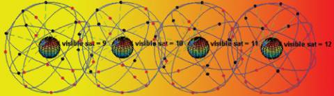
Newcomers often have difficulties imagining what the satellite orbits actually look like.

We say that the constellation consists of some 30 satellites orbiting in six different planes, all making an angle with the Equator of 55 degrees and rotated 60 degrees compared to the previous plane. Figure 1 shows the situation as seen from far away in space, in what we call an inertial frame.

Read More >

By

The Math of Ambiguity

Q: What is the acquisition ambiguity function and how is it expressed mathematically?

A: One of the main tasks of a GNSS receiver is the acquisition of the signals-in-space (SISs) of all the satellites in view. This operation is based on the evaluation of a 2-D correlation function, called the ambiguity function (AF), which allows both the satellite detection and estimation of the received signal parameters, namely the code phase offset (code offset) and Doppler frequency/shift.

Read More >

By

Aviation Applications

The emergence of global navigation satellite systems, combined with the evolution of GPS, introduces new possibilities for the use of GNSS in aviation. A major gain in integrity, accuracy, and availability can be expected by using multiple GNSSes and augmented services.

Read More >

By Alan Cameron
[uam_ad id="183541"]

CAPS — China’s Regional Navigation Satellite System

Many navigation satellite systems have emerged since 2000.

GPS is the first global navigation satellite system (GNSS), followed by Russia’s GLONASS, reinvigorated in recent years. Europe is developing Galileo, and China is expanding the regional system Beidou to a global system called Compass (also referred to as Beidou-2).

Read More >

By

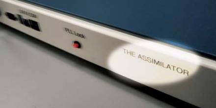
The GPS Assimilator

For the complete story, including figures, graphs, and images, please download the PDF of the article, above.

What will GNSS receivers look like five years from now? 

The answer, of course, depends on the application. Mass-market receivers used in applications that do not require precision positioning and timing (hand-held units for hikers, for example) will likely remain simple, single-frequency L1 C/A-code–based GPS devices.

Read More >

By

Going Deep

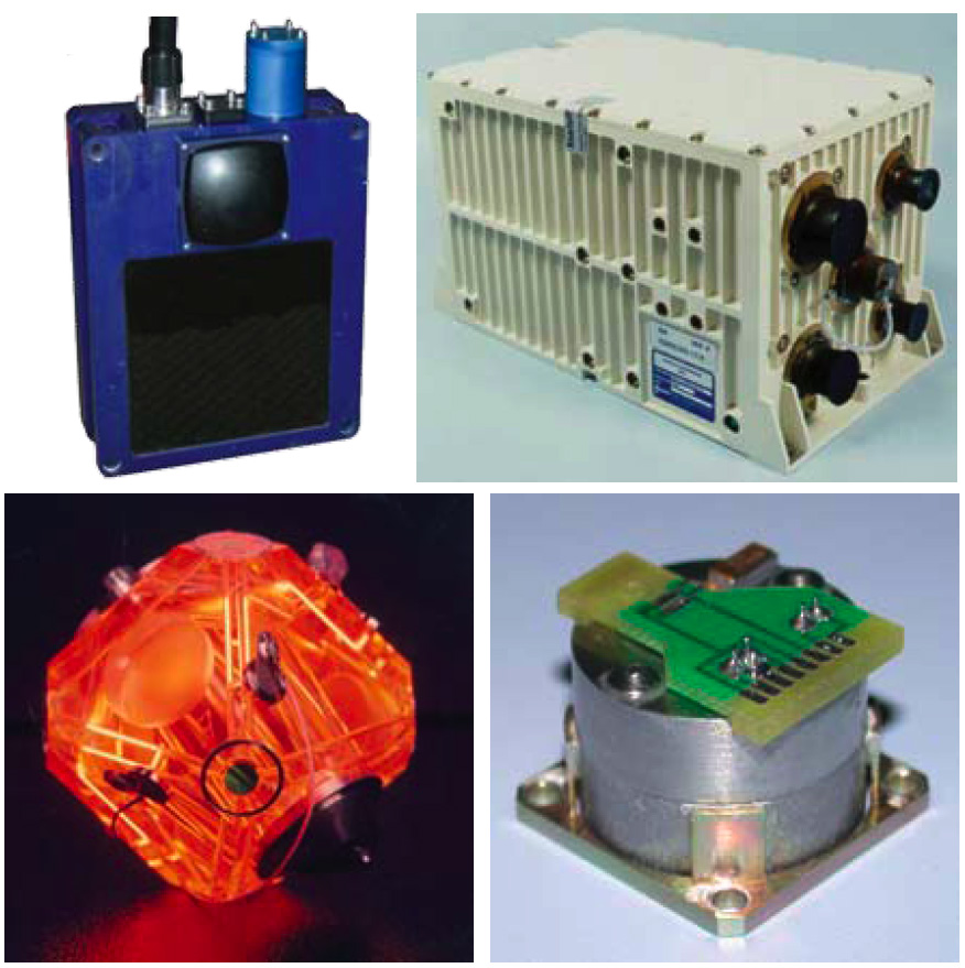
Clockwise from top left: 3-D sonar system sonar head; Inertial navigation system sensor; pendulous force rebalanced accelerometer; three-axis MRLG.

Staring into space on a clear night in the Mojave Desert yields a vista of stars so rich that words cannot begin to describe them. Within this vast field of view are the space elements of the Global Navigation Satellite System (GNSS).

Although these satellites are virtually invisible to the casual observer, GNSS provides autonomous, three dimensional (3-D) geospatial positioning with global coverage. While GNSS works in many regions on the Earth, it does not work in all areas.

Read More >

By
[uam_ad id="183541"]
1 67 68 69 70 71 82
IGM_e-news_subscribe