integration/integrated system Archives - Page 6 of 9 - Inside GNSS - Global Navigation Satellite Systems Engineering, Policy, and Design

integration/integrated system

October 8, 2009

InterSense Taking Orders for Miniature IMU Chip for Navigation and Stabilization

InterSense is taking orders for a new NavChip OEM Developer’s Kit that includes a pre-release engineering sample of a miniature commercial inertial measurement unit (IMU) on a surface-mount chip.

The offer is open to qualified OEM partners for a limited number of kits to be delivered this month. Initial production is planned for early 2010, with fully-qualified NavChips available in the second quarter.

Read More >

By Inside GNSS
September 16, 2009

u-blox Software Will Support Microsoft Windows 7 Location API

u-blox has its support of Microsoft Corp.’s initiative to facilitate development of location-aware applications on Windows 7.

Through the release of u-blox’ driver supporting Microsoft’s Sensor and Location application programming interface (API), software developers will have a standardized interface to the entire line of u-blox GPS chips and modules, according to Michael Ammann, u-blox’s vice-president of embedded software. The Sensor and Location platform for Windows 7 provides a simple way to access data from a wide range of external sensors.

Read More >

By Inside GNSS
[uam_ad id="183541"]
July 8, 2009

GPS 746th Test Squadron Turns 50

746th Test Squadron commander Lt. Col. Amy McCain dedicates an exhibit with Director Randall Hayes of the New Mexico Museum of Space History in Alamogordo.

A tradition of testing of navigation systems and missile components began for the 746th Test Squadron (746 TS) in 1959 and continued as it reached its golden anniversary in May 2009.

Read More >

By Inside GNSS
June 4, 2009

Applanix Introduces New Aerial Digital Photogrammetric System

Applanix
has introduced the POSTrack 410 flight management and direct
georeferencing system designed for use with the latest generation of
medium-format airborne digital photogrammetric camera.

The POSTrack 410 incorporates Applanix’s POS AV GNSS-inertial navigation
system (INS) and POSPac Mobile Mapping Suite (MMS) office software,
featuring the IN-Fusion technology and SmartBase module. This system
can process both GPS and GLONASS signals as well as those from
satellite-based augmentation systems.

Read More >

By Inside GNSS
[uam_ad id="183541"]

Changes in Store for U.S. Military GPS Equipment Development and Acquisition

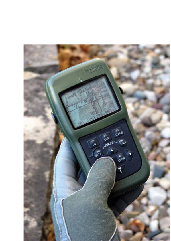
DAGR 2008. Rockwell Collins image

Development and acquisition of military GPS user equipment (MGUE) are taking on new dimensions across the board — institutionally, procedurally, and technologically.

Along the way, the changes could redefine relationships within the Department of Defense (DoD) and between the agency and industry.

At the agency level, a proposal is forthcoming to “stand up” a positioning, navigation, and timing (PNT) user equipment joint program office (JPO) that would incorporate UE responsibilities (and budgets) now exercised by the GPS Wing (GPSW).

Read More >

By Inside GNSS
June 3, 2009

Pacific Crest Picks GNSS Industry Veteran to Head OEM Effort

Pacific Crest Corporation has  appointed GPS/GNSS industry veteran Don Speedy to head business development and sales for North America. With more than nine years of successful experience in business development and OEM GNSS, geographic information systems (GIS) and survey sales, Speedy will be responsible for driving strategic partnerships in OEM GNSS and data link communications while maintaining regional relationships.

Read More >

By Inside GNSS
April 27, 2009

Companies Announce GPS/Wi-Fi Collaboration

Ekahau Inc. has announced that its Wi-Fi location tracking software is being integrated into GPS receivers designed by NavSync Ltd. to enable customers to continuously track asset in indoor and outdoor environments.

Wi-Fi–enabled GPS tag combines NavSync’s NavTrac GPS module with Ekahau’s location protocol. The NavTrac module incorporates the CW85 16-channel GPS receiver/802.11b/g transmitter combination.

Read More >

By Inside GNSS
April 26, 2009

Loctronix Gains Patent for Its Spectral Compression Positioning, Tracks CDMA, GNSS

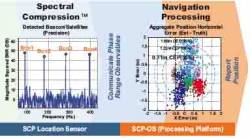
Loctronix SCP technology

[Updated 4/26/09] On March 31, the U.S. Patent Office granted Loctronix Corporation its first patent, which will provide the foundation for its Spectral Compression Positioning (SCP) technology that enables multi-source positioning capability in a single sensor. Subsequently, the company announced that it had successfully achieved meter-level ranging performance using CDMA cellular signals.

Read More >

By Inside GNSS
April 9, 2009

earthmine Launches 3D Mapping System Driven by GPS, Inertial

John Ristevski

Privacy rebellions such as recently drove a Google Street View crew from Broughton, England, or security-oriented legislation that would require blurred features or position accuracy in commercial imagery is just part of the market environment for 3-D mapping company earthmine, Inc., which is moving out of beta mode into full-fledged operations.

Read More >

By Inside GNSS
IGM_e-news_subscribe