March 15, 2017
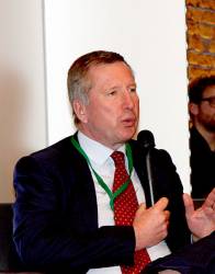
Pierre Delsaux speaks at the Munich Satellite Navigation Summit. Photo: Peter Gutierrez.
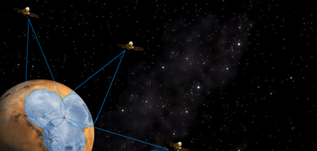
Looking on the Bright Side from the Munich Satellite Navigation Summit
Pierre Delsaux speaks at the Munich Satellite Navigation Summit. Photo: Peter Gutierrez.The opening plenary of the annual Satellite Navigation Summit in Munich tends to be a ritzy affair, taking place in the evening in an amazing converted chapel and featuring live musical interludes in between groups of speakers. This year the audience was treated to movie tunes, and the European Commission’s Pierre Delsaux had a suggestion for the play list.
By Inside GNSS