May 31, 2016
 JRC Ispra setting
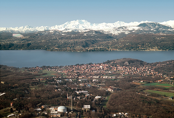
This year’s European Space Agency GNSS summer school on Lake Maggiore in Italy
JRC Ispra settingA few places remain in the 2016 European Space Agency (ESA) International Summer School on Global Navigation Satellite Systems, which will take place at the Italian campus of European Commission’s joint scientific and research center (JRC – CCR ISRA) on Lake Maggiore in Ispra, near Varese.
By Inside GNSS