Environment

March 9, 2017

Spirent Test Solutions Help to Improve Maritime Safety

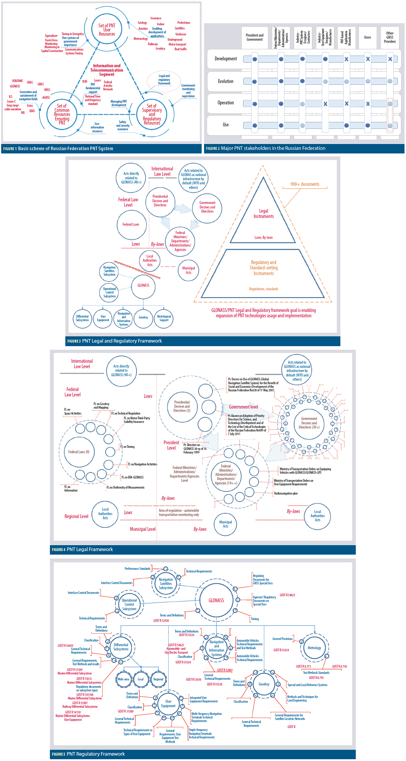
ACR’s ResQLink+ Buoyant Personal Locator Beacon.

Spirent Communications plc this week announced its test solutions have been used to improve maritime safety, and this development came about after much collaborative work designed to ensure that GNSS receivers are performing as needed, especially for rescue operations at sea.

Working with the Radio Technical Committee for Maritime Services (RTCM), Spirent has created test scenarios that simulate realistic satellite reception conditions at sea so that GPS distress beacon performance can be improved, allowing users to be rescued faster by search and rescue organizations.

Read More >

By Inside GNSS
[uam_ad id="183541"]
February 10, 2017

Galileo’s Commercial Service Implementing Decision Adoption to Bring Added Value to Users

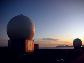
Two Galileo satellites now transmitting navigation signals. Image source: ESA. 

This week’s announcement of the adoption of the Galileo Commercial Service Implementing Decision represents an opportunity for Galileo to differentiate itself from other systems and offer users an added value to the standard positioning services already available, says the European GNSS Agency (GSA).

Read More >

By Inside GNSS
January 25, 2017

ESA Inside View on the Present and Future of GNSS

Miguel Mantiega Bautista talks about the ECA’s view on GNSS while attending the Navitec conference in Noordwijk.

The first generation of the Galileo Program, at satellite and ground segment level, has been “an enormous success," according to Miguel Manteiga Bautista, who spoke with Inside GNSS last December at his office at the European Space Agency’s European Space Research and Technology Centre (ESTEC) in Noordwijk.

Read More >

By Inside GNSS
[uam_ad id="183541"]
December 13, 2016

Air Force Approves Lockheed Martin’s GPS Ground Control Design

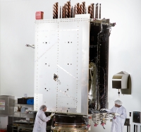
GPS III satellites in production. Image Source: Lockheed Martin.

The U.S. Air Force has approved Lockheed Martin’s current GPS satellite ground control system upgrade to enable it to operate with more powerful and accurate GPS III satellites, the company said.

The Air Force’s Critical Design Review (CDR) for the Contingency Operations (COps) contract, completed on November 17, allows Lockheed Martin to proceed with the modification of the existing Architecture Evolution Plan (AEP) Operational Control Segment. The AEP, maintained by Lockheed Martin, controls the 31 GPS IIR, IIR-M and IIF satellites in orbit.

Read More >

By Inside GNSS
December 8, 2016

Two More Galileo Satellites Transmitting Navigation Signals

After months of testing, the European Space Agency (ESA) has announced that Galileo satellites 13 and 14 are transmitting healthy navigation signals and ready to relay distress calls to emergency services.

The satellites, launched from Europe’s Spaceport in French Guiana on May 24, went through lengthy testing that included receiving and uplinking signals through specialized antennas, ESA said. Some of the tests included navigation and search and rescue payloads methodically switched on, the agency said.

Read More >

By Inside GNSS
November 20, 2016

GPS PNT Enhances GOES-R Space Weather Satellite Mission

GOES-R primary capabilities. NOAA image

A United Launch Alliance (ULA) Atlas V rocket carrying the Geostationary Operational Environmental Satellite R-series (GOES-R) for National Aeronautics and Space Administration (NASA) and National Oceanic Atmospheric Administration (NOAA) lifted off from Cape Canaveral Air Force Station, Florida, yesterday (November 19, 2016) headed for geosynchronous orbit.

Read More >

By Inside GNSS
November 16, 2016

NOAA Expands GNSS Data Sources for Weather Prediction

The National Oceanic and Atmospheric Administration (NOAA) will purchase data from small commercial satellites to expand its GNSS radio occultation (RO) efforts to better predict weather.

In September NOAA, through the government’s Commercial Weather Data Pilot program, awarded contracts to San Francisco, California-based Spire Global ($370,000) and GeoOptics ($695,000), of Pasadena, California, to provide RO data. This data will be used to assess whether commercially provided information can be incorporated into the agency’s weather models.

Read More >

By Inside GNSS
November 14, 2016

11th RIN Baška GNSS Conference

The 11th RIN Baška GNSS Conference will take place May 7 – 9, 2017, in Baška, Krk Island, Croatia, organized jointly by The Royal Institute of Navigation (London, UK), Faculty of Maritime Studies (University of Rijeka, Croatia), and the Faculty of Transport and Traffic Sciences (University of Zagreb, Croatia), with technical co-sponsorship from Beihang University of Aeronautics and Astronautics (Beijing, China).

The abstract deadline is February 6, 2017. Please contact Renato Filjar.

Read More >

By Inside GNSS
1 3 4 5 6 7 14
IGM_e-news_subscribe