A: System Categories

January 6, 2014

Enhanced Differential Loran Maritime Trials in The Netherlands Declared Successful

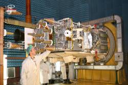
The eDLoran receiver including antenna is mounted in a standard enclosure (14x14x10cm) for GPS-RTK equipment provided by AD Navigation (Norway)

The Dutch Pilots Corporation and Reelektronika announced today (January 7, 2014) the successful development and test of an Enhanced Differential Loran (eDLoran) backup to GNSS in The Netherlands.

Trials at sea and in the Rotterdam Europort harbor area met the requirement for absolute accuracies in the five-meter range, according to Durk van Willigen, CEO of Reelektronika, and Wim van Buuren, Loodswezen’s information & communications technology (ICT) and innovation manager and board member.

Read More >

By Inside GNSS
January 1, 2014

GAO Faults DHS, DoT for GPS Interference/Backup Effort

Federal efforts to protect positioning, navigation and timing (PNT) signals came under sharp criticism during the December meeting of the National Space-Based Positioning, Navigation, and Timing (PNT) Advisory Board, with the Department of Homeland Security (DHS) getting a bureaucratic ear boxing for having done little so far to specifically protect GPS.

Read More >

By Inside GNSS
[uam_ad id="183541"]
December 17, 2013

40th Anniversary of Key DoD Decision on GPS

Brad Parkinson, the first director of the NAVSTAR GPS Joint Program Office, once said that his work with the Global Positioning System had led him to validate an interpretation of “prime law” suggested by a colleague: one thing leads to another

Forty years ago today, that principle culminated in a key decision by the Department of Defense to proceed with what became the GPS program.

Read More >

By Inside GNSS
[uam_ad id="183541"]

Sixth Conference on European Union Space Policy

The 6th Conference on European Union Space Policy will take place at the European Commission’s Charlemagne Building, in Brussels, Belgium on January 28 and 29, 2014.

Registration is now open. Online registration closes January 22, 2014.

The theme is "What Direction for Europe in Space Between Now and 2020?." The conference is sponsored by the presidents of the European Commission, the European Council and the European Parliament.

Read More >

By Inside GNSS

GSA Invites Proposals for European GNSS R&D Projects

Horizon 2020 (H2020), the new incarnation of European Commission–funded research and innovation programs, has issued its first call for applications in satellite navigation.

The relatively modest — €38 million (US$52 million) out of a total of  €70 billion (US$92 billion) for the period 2014–2020 — represents an initial round of invitations for R&D proposals that previously were distributed under the framework programs (FPs). The deadline for submitting proposals is April 3, 2014.

Read More >

By Inside GNSS
November 30, 2013

GNSS Hotspots | November 2013

One of 12 magnetograms recorded at Greenwich Observatory during the Great Geomagnetic Storm of 1859
1996 soccer game in the Midwest, (Rick Dikeman image)
Nouméa ground station after the flood
A pencil and a coffee cup show the size of NASA’s teeny tiny PhoneSat
Bonus Hotspot: Naro Tartaruga AUV
Pacific lamprey spawning (photo by Jeremy Monroe, Fresh Waters Illustrated)
“Return of the Bucentaurn to the Molo on Ascension Day”, by (Giovanni Antonio Canal) Canaletto
The U.S. Naval Observatory Alternate Master Clock at 2nd Space Operations Squadron, Schriever AFB in Colorado. This photo was taken in January, 2006 during the addition of a leap second. The USNO master clocks control GPS timing. They are accurate to within one second every 20 million years (Satellites are so picky! Humans, on the other hand, just want to know if we’re too late for lunch) USAF photo by A1C Jason Ridder.
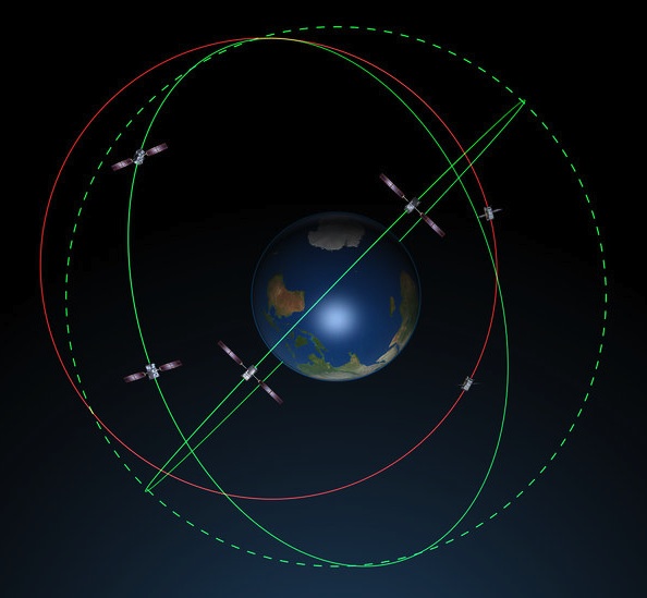
Detail of Compass/ BeiDou2 system diagram
Hotspot 6: Beluga A300 600ST

1. PAPER, PLEASE.
Silver Spring, Maryland USA
√ The USA will stop printing nautical charts next April, the end of a 150 year tradition. Why? “Declining demand, electronic and digital charts and federal budget realities,” said NOAA’s Office of Coast Survey. They will maintain and update PDFs of more than a thousand coastal charts and refer those who admire traditional lithography to private printers who can do the job.

Read More >

By Inside GNSS
November 27, 2013

Auto Regulators Seek to Shape Navigation Devices and Apps

Highway safety officials are crafting guidelines aimed at pushing manufacturers to make portable electronic devices — including cell phones, hand-held navigation receivers, and navigation apps — less likely to distract drivers. They may face some push back, however, from members of Congress who are already questioning whether GNSS devices should be included under the proposed standards.
 

Read More >

By Inside GNSS
IGM_e-news_subscribe