GNSS (all systems) Archives - Page 126 of 150 - Inside GNSS - Global Navigation Satellite Systems Engineering, Policy, and Design

GNSS (all systems)

July 18, 2012

Brussels View: Remembrance of Things Past

In 2003, China committed to investing €200 million (US$270 million) for the privilege of participating in the development of Europe’s Galileo program. But by 2007 it had been forced out of major decision-making because of security concerns and the collapse of the original financing plan for the program, which was to include public and private money.

Read More >

By Peter Gutierrez
July 11, 2012

14th IAIN World Congress: International Association of Institutes of Navigation

Concorde El Salam Hotel

The biennial International Association of Insitutes of Navigation (IAIN) World Congress will take place in Cairo, Egypt from October 1 to October 3, 2012, in conjunction with MELAHA 2012, the 6th Arab Institute of Navigation conference and exhibition.

The conference venue is the Concorde El Salam hotel in the tranquil Helipolis suburb, a 10 minute drive from the airport

The theme is "Seamless Navigation: Challenges and Opportunities."

Read More >

By Inside GNSS
[uam_ad id="183541"]
July 5, 2012

Single- versus Dual-Frequency Precise Point Positioning

Q: What are the tradeoffs between using L1-only and L1+L2 for PPP?

A: Precise point positioning (PPP) is a technique that can compute positions with a high accuracy anywhere on the globe using a single GNSS receiver. It relies on highly accurate satellite position and clock data that can be downloaded from the International GNSS Service (IGS) or obtained in real-time from a number of service providers, using either the Internet or satellite links.

Read More >

By Inside GNSS

INS Face Off

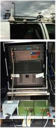
TOP PHOTO: Antenna configurations on trials vehicle: Dual GPS antennas for the INS under test and single GPS antenna for the CIMU; BOTTOM PHOTO: Commercial IMU/DGPS system used for reference (left), FOG-based INS configuration (middle), and MEMS-based INS configuration 2 (right)

The automobile versus the horse and buggy. Cloud computing opposite desktop software. The trend is predictable, yet it is always surprising when one technology takes over the market space of another. After all, television did kill off the radio star.

Read More >

By Inside GNSS

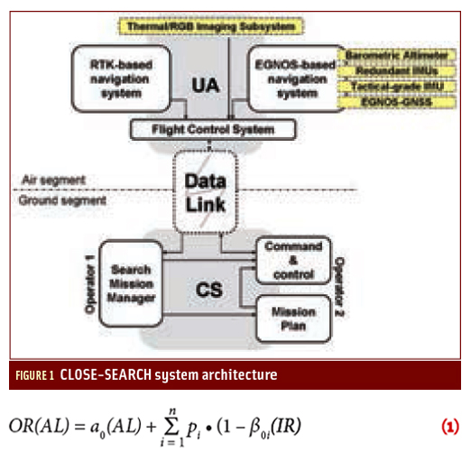
Drones to the Rescue!

August 1994, early morning. Spain’s Central Pyrenees Mountains still in darkness.

At the outset of an ascent to a 3,000-meter peak along the international border, one of the co-authors encounters a group of tourist hikers who have begun searching for a colleague who had left the camp the previous evening. In the pre-sunrise gloom, helicopters cannot yet operate.

A week later, the body of the hiker is found. The rescue efforts came, unfortunately, too late.

Read More >

By Inside GNSS
July 4, 2012

Addition of Leap Second Highlights Campaign for Its Elimination

[Updated July 4] The world’s dominant mode of timekeeping, Coordinated Universal Time (UTC), took on another leap second on Saturday, June 30 at 23:59:60 UTC.

And then the fun began: the addition caused software handling Internet services such as LinkedIn, Pinterest, Mozilla, Reddit, StumbleUpon, Yelp, FourSquare and Gawker to behave unpredictably or even crash over the weekend.

Read More >

By Inside GNSS
[uam_ad id="183541"]
June 23, 2012

GNSS and Positioning for the Future Workshop

Northern Jutland Peninsula

A seven day workshop on GNSS and Positioning for the Future will be held at a Jutland (North Sea) resort in Denmark from August 27 through September 2, 2012. It is open all those with an interest in satellite positioning and navigation but limited to the first 50 registered participants.

The workshop will cover GNSS basics, new satellite navigation systems, arctic navigation, intelligent transportation systems and environmental monitoring, with lectures by international experts in those fields. The program and full list of lecturers are available on the event website.

Read More >

By Inside GNSS
June 18, 2012

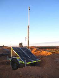
Leica Geosystems and Locata Extend Technology Partnership

Leica Geosystems Mining and Locata Corporation will continue their exclusive technology partnership in the mine machine automation and mine fleet management markets until at least June 2014. The extension guarantees the ongoing, commercial provision to the global mining industry of the Leica Jigsaw Positioning System (Jps), powered by Locata technology.

Read More >

By Inside GNSS
IGM_e-news_subscribe