October 16, 2014
GNSS+: PNT Heads for the Great Indoors
A confluence of technology, policy, and applications is turning indoor venues into the next big frontier for positioning and navigation.
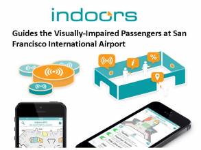
Recent market studies have heralded the prospects for positioning, navigation, and tracking inside buildings where GNSS signals are often attenuated or blocked entirely. Many products and conceptual designs combine the indoor technologies with GNSS to provide “ubiquitous” positioning.
By Inside GNSS