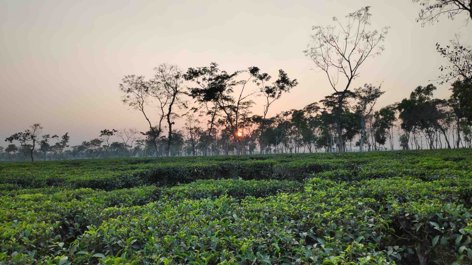
Researchers from Columbia University Climate School Lamont-Doherty Earth Observatory have published a 4-part field report from ongoing field work in the Tea Region of Bangladesh. The team is using GNSS to measure tectonics, earthquake hazard, as well as land subsistence in the face of climate change and sea-level rise.
Dr. Michael Steckler, Lamont Research Professor, Marine and Polar Geophysics, Lamont-Doherty Earth Observatory (LDEO) writes:
“The GNSS will measure the subsidence of the land below the buildings that they are mounted on. The RSET-MH [Rod Service Elevation-Marker Horizon] will measure the subsidence caused by sediment compaction above the base of the rod at 80’ below the ground. It does this by carefully measuring elevation with the RSET and the sediment accumulation with the MH. The difference is the shallow subsidence. Finally, for the first time we are adding augering. The auger will be driven into the ground to take sediment samples…These results will be important for the sustainability of the Ganges-Brahmaputra Delta and Bangladesh. Sea level rise is augmented by land subsidence, but countered by sedimentation building up the land. Understanding how these three factor balance is critical to this low-lying land.”
The 4-part field report provides observations from travel through Bangladesh, and details the Columbia team’s collaboration with local research partners. Read the full field report on this important work via Columbia Climate School Earth Notes.


