ESA-supported research reinforces the complementary role of commercial satellite data alongside government missions.
New research supported by the European Space Agency’s (ESA) Third Party Missions programme has generated Arctic-wide sea ice freeboard maps using GNSS-Reflectometry (GNSS-R) data captured by Spire Global, Inc.’s GNSS-Reflectometry (GNSS-R) multipurpose listening constellation.
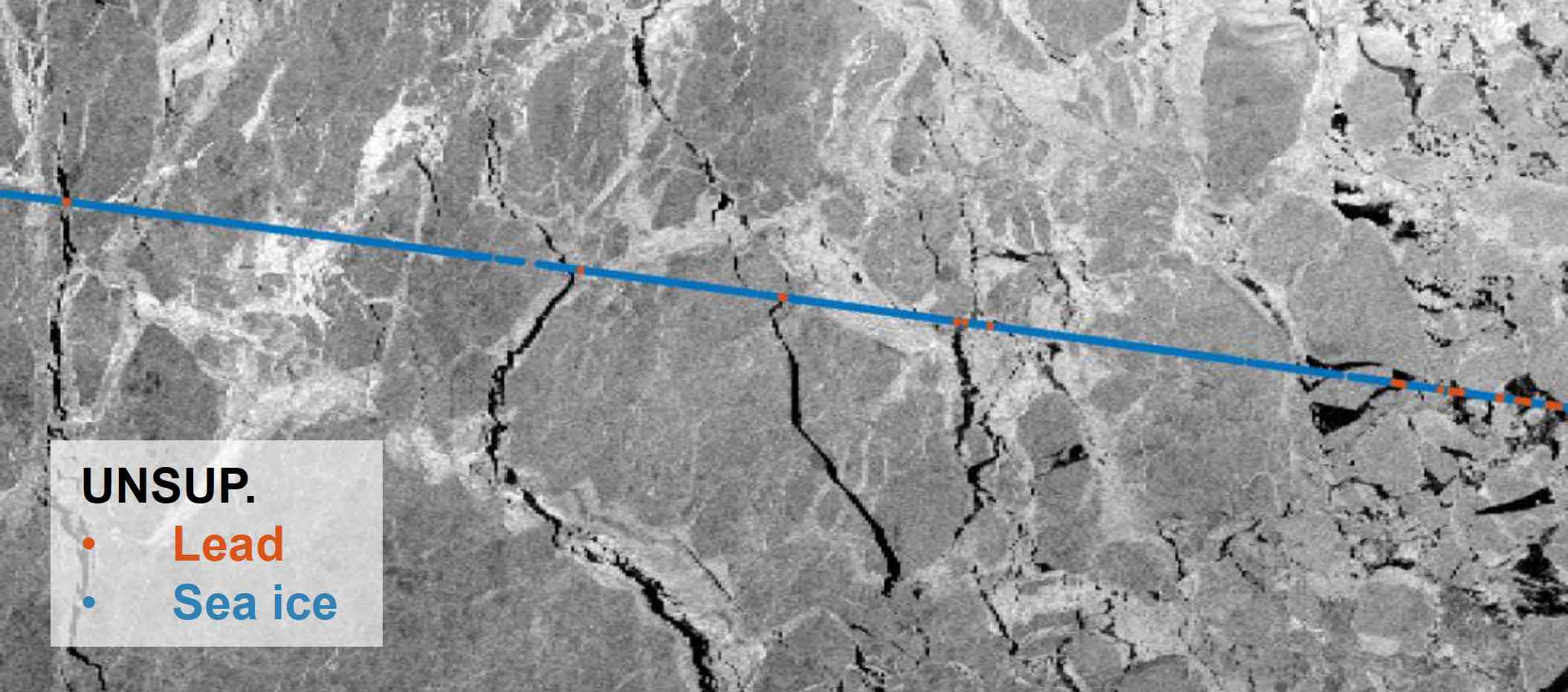
Led by the Technical University of Munich (DGFI-TUM) and the Norwegian Research Centre, the study leveraged Spire’s grazing-angle GNSS-Reflectometry (GNSS-R) — a radio frequency (RF) sensing technique that analyzes reflected navigation signals — to retrieve sea ice freeboard measurements across an entire winter season. The results show strong alignment with established altimetry datasets, including ESA’s CryoSat mission, validating the complementary role of commercial satellite data alongside government missions.
While GNSS signals have long been used for positioning, this research highlights how reflected signal analysis can extend their value into large-scale Earth observation applications, delivering persistent coverage independent of sunlight or weather conditions.
“Advances in miniaturization, digital signal processing, and machine learning have fundamentally changed what’s possible in RF sensing,” said Theresa Condor, Chief Executive Officer of Spire Global. “Commercial constellations can now deliver persistent, high-quality RF data that complements traditional government systems with greater flexibility and cost efficiency. As environmental monitoring requirements intensify, we’re seeing agencies increasingly integrate commercially sourced RF datasets into operational architectures, reflecting the continued maturation of this market and the growing role of commercial infrastructure in government missions.”
Read more on the research from ESA: Reflected satellite signals unlock new insights into Arctic sea ice


