A European consortium led by the French map service provider GEOSAT will investigate how the combination of self-driving mapping cars — or autonomous mobile mapping systems (AMMS) — and artificial intelligence-based mapping software can automate the production of high-definition (HD) maps. Driverless vehciles of the present and future use HD maps to navigate and they must be of provable/certifiable accuracy, completeness and currency.
GAMMS
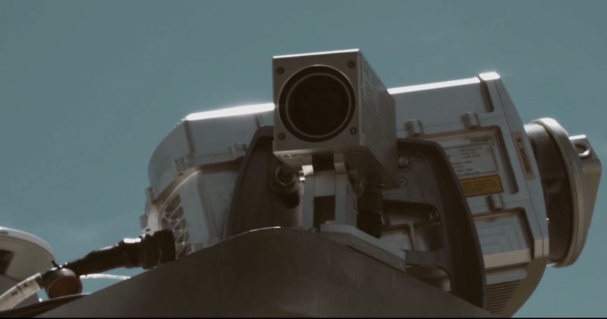
The challenge of the Galileo/GNSS-based AMMS (GAMMS) project is the fast, sustainable production of trustworthy maps. GAMMS brings together a spectrum of knowledge experts: map making and machine learning (GEOSAT), multi-sensor fusion and accurate navigation (GeoNumerics), robotics and autonomous driving (Sensible4), GNSS and Galileo receiver development (DEIMOS Engenharia), sensor and vehicle dynamic modelling (EPFL) and multispectral laser scanning (Solid Potato). The consortium also includes regulatory (PILDO Labs) and communication (ENIDE) specialists.
GAMMS will develop an advanced prototype (Technology Readiness Level 6 to 7) of an autonomous terrestrial mobile mapping system – a mapping robot – based on an existing Level of Automation 4 (LoA-41) AV for cm-level accurate and certifiable mapping to serve the needs of the growing markets of
• HD maps for autonomous vehicles (driverless cars),
• 3D maps for smart cities and augmented reality (AR) applications,
• 3D maps to support Urban Air Mobility (UAM) applications such as package delivery by drone or taxi
• Drones and other ground-to-low-level-airspace unmanned applications urban sustainable and safe mobility.
In the long term, GAMMS envisions fleets of low-cost, autonomous, electrically-powered, mobile mapping systems (MMS) collecting geodata in a massive, continuous yet inconspicuous way to produce/update the base maps of existing HD maps. In other words, robots making maps for robots.
The vision is that the future of mapping is robotic mapping, where robotics, cartography and navigation/geodesy meet. This vision is aligned with the general and long-existing trend of geodata acquisition using robots, whether for for indoor, aerial (corridor or large-area) mapping or environmental monitoring. This is comparable to the field of aerial mapping, in which mapping robots will dominate the landscape – or, at least, play a significant role – of geodata acquisition for aerial mapping.
GAMMS has added advanced Galileo signals (E5 AltBOC), triple frequency (TF) bands and new services: the Navigation Message Authentication (OS-NMA, simply NMA) and High Accuracy Service (HAS). It leverages Galileo differentiators resulting in higher trajectory precision/accuracy/reliability both in real-time (vehicle guidance) and post-process (generation of the HD base map). GAMMS cannot function without E5 AltBOC, TF, NMA and HAS of Galileo.
GeoNumerics (Castelldefels, Spain) is a research and development (R&D) intensive small-and-medium-enterprise (SME) company specialised in geomatics and accurate navigation.
GEOSAT (Canejan, France) is a map service provider specialised in 3D measurements and 3D big data processing applied to mapping for autonomous driving and smart cities.
GAMMS is funded by the European Space Agency (EUSPA) through the EU Framework Programme for Research and Innovation Horizon 2020.


