u-blox released a firmware update for its ZED-F9R positioning module, bringing robust centimeter-level positioning to slow-moving use cases such as robotic lawnmowers, e-scooters, and shared bicycles. The ZED-F9R-02B was designed for autonomous and industrial applications that require simple and efficient implementation and where rapid access to highly accurate positioning data is key, even in challenging signal environments such as dense cities.
The ZED-F9R uses the u-blox F9 multi-band GNSS receiver platform to concurrently track up to four GNSS constellations. Applying real-time kinematic (RTK) techniques, the module can derive positioning data with centimeter-level accuracy, according to the company. The GNSS measurements are fused with data from the module’s inertial measurement unit (IMU), GNSS correction data, odometry information, and a vehicle dynamics model to provide high-quality positioning accuracy in situations where GNSS alone would come up short. The receiver includes dynamic models for robotic lawnmowers, e-scooters, and automobiles.
The ZED-F9R-02B integrates the u-blox GNSS correction data service, broadcast in scalable state-space representation (SSR) format for fast time-to-market precise positioning solutions.
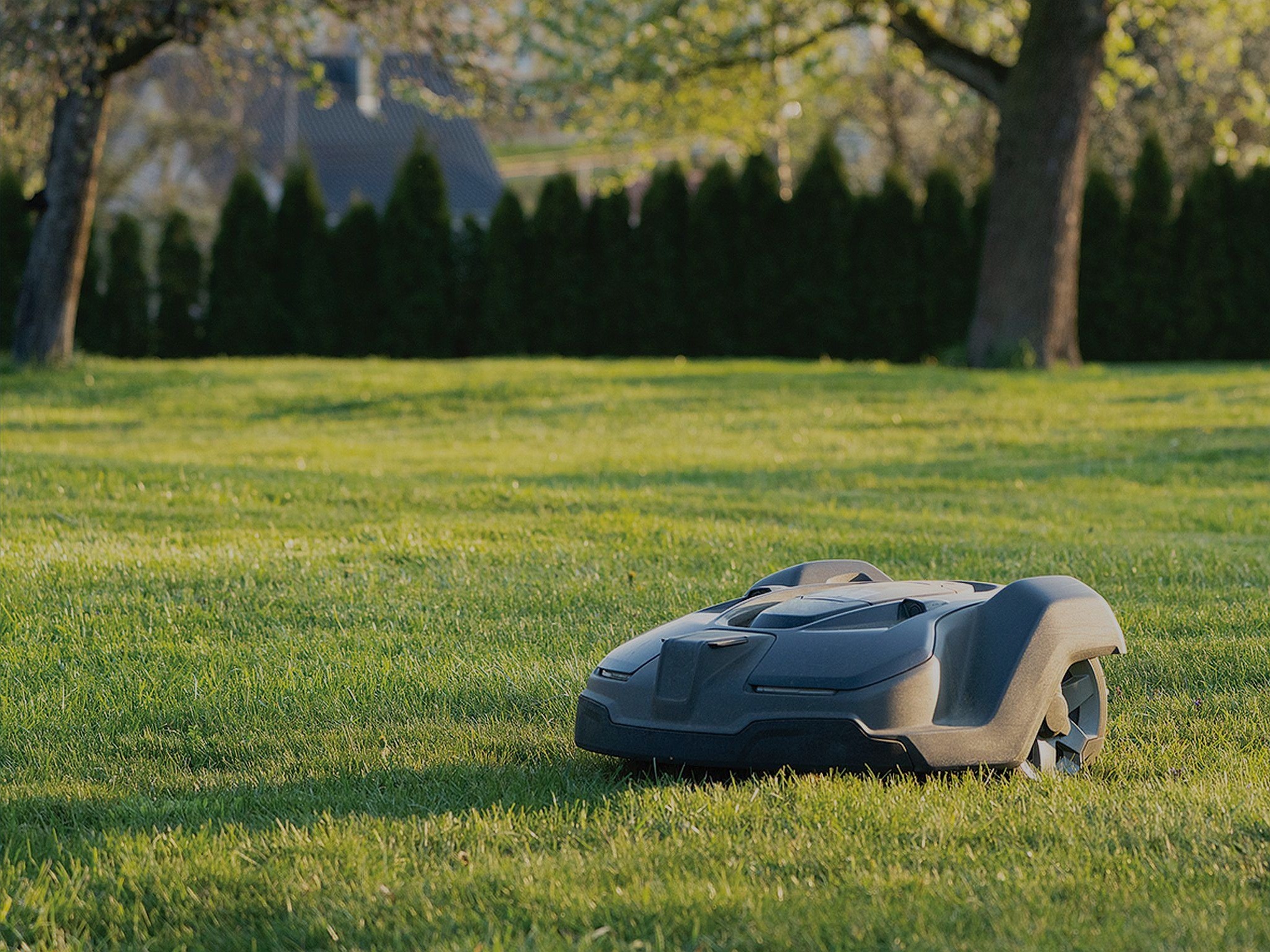
Robotic lawnmowers achieve further improvements in terms of their positioning accuracy thanks to the module’s ability to calibrate its dead-reckoning system even at low speeds. The module’s position output lets end users precisely delimit the mowing area using software rather than with boundary wires and to deploy robotic lawnmowers on complex lawn shapes while excluding trees and shrubs.
Combining these features allows product designers to use the module to create mowing equipment that enables “robotic mowing as a service” capable of operating in complex environments without the upfront cost and commitment of installing boundary wires.
“The ZED-F9R-02B will allow companies working in niche markets to employ dead-reckoning technologies without needing to build and maintain expertise in the subject.”
The ZED-F9R-02B offers support for a range of correction services, including the SPARTN format for GNSS correction data over large geographical areas.
Image courtesy u-blox.


