ROCK Robotic also joins the Web3 GEODNET initiative as a high-definition mapping ecosystem partner
LAS VEGAS – ROCK Robotic announced the availability of ROCK Base, a state-of-the-art, triple-band multi-constellation RTK/GNSS base station. ROCK has also joined the Web3 GEODNET initiative, the world’s largest decentralized GNSS reference network. The combined solution will support critical applications in civil surveying, high-definition mapping and digital twin creation, as well as many next-generation robotic solutions.
Because of its simple digital-twin creation workflow, ROCK Robotic’s proven cloud-based LiDAR and 3D Map Processing software (ROCK Cloud) has over one thousand users in over ten countries worldwide. Under the announced partnership, ROCK’s customers will have access to the GEODNET base-station network to geo-reference ROCK Robotic’s 3D data products to millimeter-absolute position accuracy without the need to set up tedious ground control points.
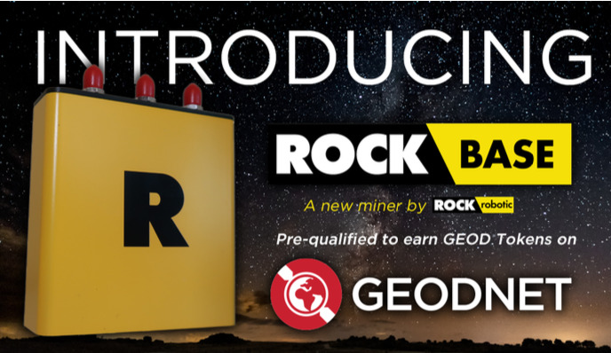
The ROCK Base is a triple-frequency, 1,400-channel, full-constellation GNSS receiver capable of tracking all major signals transmitted from GPS, GLONASS, Galileo, Beidou, QZSS, and the
IRNSS navigation satellite constellations. The ROCK Base includes survey-grade antennae, cables and antennae-mounting equipment needed to set up a permanent CORS (Continuously Operating Reference Station) location.
The ROCK Base is pre-certified on the GEODNET network, and every ROCK Base station operator is eligible to earn GEOD token rewards. “ROCK Robotic is continually working to make high-definition mapping more affordable and accessible. The ROCK Base is an important new way to enable our community to achieve survey-grade HD mapping results quickly while simultaneously providing token rewards for ROCK’s equipment operators,” said Harrison Knoll, CEO of ROCK Robotic.
“On behalf of the GEODNET Web3 community, we are delighted to welcome ROCK Robotic into the ecosystem as an experienced geospatial business in the area of LiDAR-based data processing and high-definition mapping,” said Mike Horton, Creator of the GEODNET initiative.
For more information on the ROCK Base GNSS receiver and station, visit www.rockrobotic.com.


