This year’s Space Symposium, established by the Space Foundation as the preeminent gathering of the international space community, united over 12,000 space professionals, corporate leaders and key decision-makers from more than 40 countries to inform, engage, and foster connections.
Positioning, Navigation, and Timing (PNT)-related solutions stood out among the many other cutting-edge space technologies showcased by over 230 innovators, reaching across space agencies, commercial enterprises, military entities, governmental bodies, research and development institutions, educational establishments and entrepreneurial ventures. Here’s a review of some of the more distinctive PNT efforts, live from the Space Symposium expo hall floor.
Spaceport America – AeroVironment Sunglider
Located on 18,000 nautical miles of trust land in Las Cruces, New Mexico, within the envelope of the Space Valley Coalition, a pioneering partnership between Spaceport America and AeroVironment pushes the boundaries of PNT solutions.
At an elevation of 4600 feet above Mean Sea Level (MSL), Spaceport America’s remote location, strategically chosen for its low nearby population, reduces risk and ensures uninterrupted experimentation. As it stands poised for the orbital launches of tomorrow, (anticipated within the next decade) it has become a current hub for suborbital ventures like Virgin Galactic’s space tourism endeavors, meteorological sounding and stellar observation as well as for unobstructed flight patterns.
The latter provides the backdrop for innovative ventures like AeroVironment’s solar-powered High Altitude Pseudo-Satellite (HAPS) Sunglider, a joint venture with Japanese telecommunications company SoftBank. The Sunglider spans 262 feet across, shrouded in solar panels to harness the sun’s energy to power its remarkable capabilities. With a payload capacity of 150 lbs and a steady supply of 1500 watts, the Sunglider aims to redefine the possibilities of PNT solutions from an altitude of 60,000 to 80,000 feet.

Designed to loiter for up to six months at a time, the Sunglider can endure extreme conditions, including temperatures as low as minus 50 degrees Celsius in the stratosphere. Its mission encompasses not only PNT advancements but also facilitates 5G, marking a convergence of cutting-edge technologies.
According to Spaceport America Executive Director Scott McLaughlin, AeroVironment prepares to resume flights in May to test the Sunglider’s nocturnal descent to 60,000 feet powered solely by stored solar energy to prove its autonomy and adaptability.
The Sunglider may play a pivotal asset in safeguarding critical PNT infrastructure by providing a backup PNT for GPS to support command and control (C2) and intelligence as well as surveillance and reconnaissance (ISR) capabilities for the Department of Defense (DOD), among other stakeholders. As such, Spaceport America’s collaboration with AeroVironment on the unique Sunglider craft exemplifies innovation in PNT solutions.
Safran – Skydel GNSS Simulation Software
Safran, the third-largest global aerospace company with a diversified portfolio encompassing air and spacecraft components, electronics, and defense solutions, also provides groundbreaking GNSS (Global Navigation Satellite System) Simulation software to a global clientele.
According to Marco Ventresca, Senior Sales Manager at Safran, Skydel, the company’s GNSS simulation software empowers customers to simulate and test their receivers and other equipment with unparalleled precision, covering a vast spectrum of GNSS signals and constellations including GPS, Galileo, and Xona’s PULSAR.
On the timing side, the simulator platforms integrate SecureSync technology, ensuring uninterrupted signal continuity even in the absence of GPS connectivity. Meanwhile, on the navigation front, Skydel facilitates comprehensive testing scenarios, from benchtop simulations to live sky testing, enabling clients to validate receiver performance in diverse environments.
What sets Safran apart, Ventresca explained, is the scalability and flexibility inherent in its software-defined architecture. Whether clients opt for turnkey solutions or prefer to integrate their own hardware, Safran’s software adapts seamlessly to meet their needs. This versatility extends from receiver testing to CRPA simulations and anechoic chamber systems, offering clients a holistic suite of solutions for their PNT requirements. The software’s compatibility with off-the-shelf GPUs translates into reduced costs and enhanced flexibility and performance for clients. Finally, the software’s capability to realistically simulate jamming, spoofing and scintillation ensures that clients are equipped to confidently navigate real world challenges.
Pierre Desjardins, Business Development Manager at Saffran explained, “Our software saves companies both time and money. Traditional GNSS signals testing to ISO standards involves putting together costly fixed arrays, and driving around to receive the signals, to accumulate the required one million hours of testing for functional safety. Our software can provide this in a safe, remote environment from the comfort of one’s own computer screen.”
Safran’s commitment to innovation extends beyond commercial applications. Through initiatives like the Minerva academic partnership program, Safran nurtures collaborative research and development (R&D) with universities, providing its software for free to support students and professors.
In an era defined by evolving market demands, Safran’s GNSS Simulation software paves the way for a future of PNT precision and reliability that empowers industries worldwide.
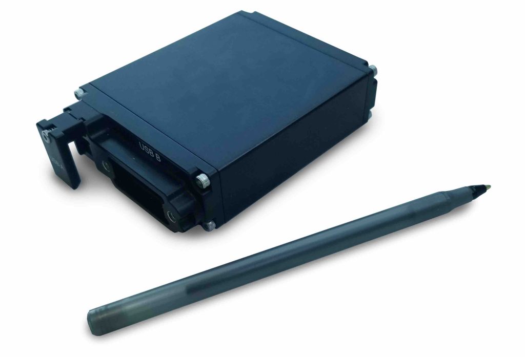
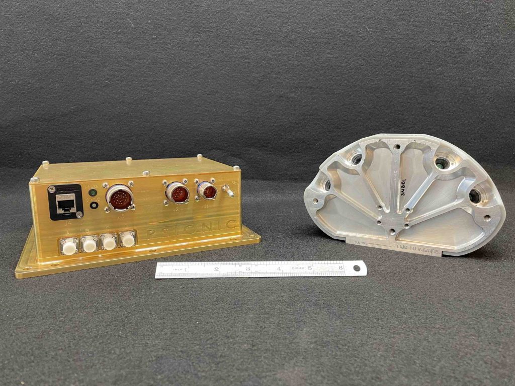
Psionic – Navigation Doppler Lidar (PNDL) & SurePath System
Psionic, headquartered in Hampton, Virginia, produces the revolutionary Psionic Navigation Doppler Lidar (PNDL) technology. This innovative system leverages laser beams with minimal footprints to provide precise velocity and positioning data, eliminating clutter issues that plague conventional radar systems. This makes PNDL ideal for navigation in GPS-denied or challenging environments.
According to Diego Pierrottet, Chief Engineer at Psionic, the breakthrough behind their PNDL is precise altimetry and incredibly accurate velocity measurements powered by an all fiber-optic coherent LiDAR network. This technology delivers an unprecedented 1000-fold leap in sensitivity, outperforming traditional radar and revolutionizing navigation accuracy in the absence of GPS.
Among other highlights, the technology was demonstrated in the recent Odysseus lunar landing by NASA’s NDL in February 2024. The NDL’s compact design (about the size of a toaster) demonstrated remarkable data integrity using three 2 inch collection optics. In contrast the Mars Science Lab (MSL) used six 8 inch diameter radar antennas while landing over similar dynamics. The NDL also consumed significantly less power, while maintaining superior accuracy.
The PNDL’s versatility extends beyond aerospace applications. It appears poised to replace microwave altimeters with its superior precision, accuracy and immunity to interference. Psionic’s SurePath system is a derivative of the PNDL designed primarily for ground applications and has the potential to revolutionize high-precision navigation across a wide variety of vehicles, particularly in GPS-denied environments. This innovation aligns with emerging trends in autonomous navigation, particularly in ground vehicles, drones and air taxis, where SurePath could serve as a safeguard against GPS spoofing and aid in navigation in challenging terrains.
To this end, Psionic’s roadmap for commercializing the PNDL and SurePath includes miniaturization that will enable broader applications. The company aims to shrink the technology to a fraction of its current size, with aspirations to eventually be reduced to the size of smartphones by 2026, paving the way for transformative applications across various industries.
Parsons – Assured Positioning System (APS)
Parsons, a digitally enabled solutions provider focused on creating the future of the defense, intelligence and critical infrastructure markets, aims to redefine the boundaries of assured positioning through its newly released Assured Positioning System (APS).
A pioneering hardware and software configuration, the APS operates on a software-defined radio (SDR) platform. Parsons engaged in over two years of meticulous R&D to create a form factor optimized for operational effectiveness. Characterized by its low Size, Weight, and Power with Cost (SWaP-C) profile, according to Mike Hite, Business Development Lead for Parsons, APS earned the moniker “SDR peanut” for its compact yet potent design.
The heart of APS lies in its ability to harness commercial satellite radio frequency (RF) downlinks and convert them into actionable PNT information. With a global accuracy ranging between 30 to 40 meters (barring the polar regions), APS promises reliable positioning capabilities tailored for diverse operational environments.
Hite underscored the dual-use nature and versatility of APS and Parsons’ commitment to addressing the evolving needs of military and commercial sectors alike. In its current dismount configuration, soldiers can wear this tech. The company has near-term plans for vehicular installations, with a long-term goal of airborne vehicle integrations (think: drones). This phased approach, from dismounted to mounted configurations and ultimately to aerial platforms, reflects Parsons’ commitment to incremental innovation, epitomized by the mantra “crawl (dismount) – walk (ground) – run (flying).”
Stay tuned for more as Parsons continues to iterate on the transformative potential of APS.
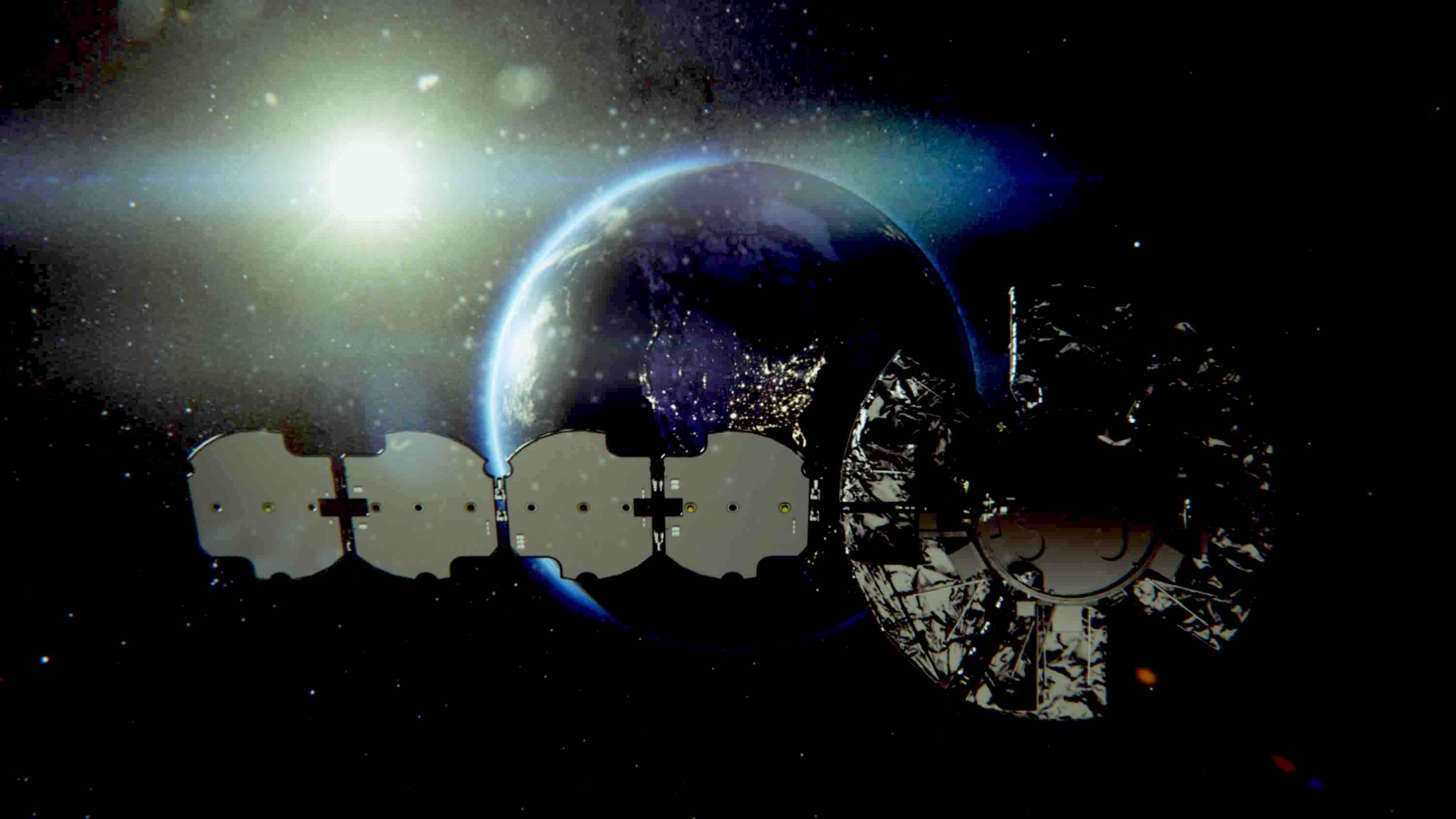
L3Harris – Navigation Technology Satellite-3 (NTS-3)
Navigation Technology Satellite-3 (NTS-3), an advanced experimental satellite developed by L3Harris, stands poised to revolutionize assured PNT for the nation’s joint force.
The project began when L3Harris answered the call from the United States Air Force (USAF) for innovation to evolve PNT capabilities beyond the confines of GPS. To create the cutting-edge NTS-3 satellite, which will operate independently of GPS by using advanced and alternative waveforms, L3Harris integrated its technologies into the Northrop Grumman ESPAStar bus.
This agile waveform platform will empower operators to develop and deploy new signals by allowing operators to simultaneously transmit Earth-coverage beams and multiple independently configurable regional beams. This will entail augmenting power levels and leveraging electronically steerable antennas to enhance resilience and allow for precise targeting of diverse areas of interest in denied environments, where traditional GPS signals may be obstructed or degraded.
NTS-3 boasts several additional technological milestones, including the pioneering use of phased array antenna technology for space-based PNT missions. To tackle the challenges posed by transmitting and receiving PNT signals simultaneously, L3Harris collaborated closely with NASA’s Jet Propulsion Laboratory (JPL) to develop autonomous navigation capabilities that ensure operational continuity in adverse conditions.
According to Joe Rolli, Director of Business Development for PNT at L3Harris, another transformative aspect of the NTS-3 relates to its on-orbit reprogrammability and autonomous navigation, facilitated by state-of-the-art software-defined radio (SDR) technology. Through the use of a fully reprogrammable in orbit Cion receiver, the satellite can utilize signals from multiple GNSS to enable such autonomous navigation, if necessary. This will ensure continuity even in scenarios where contact with ground control is lost due to interference.
With a mission lifespan of 1 to 3 years, NTS-3 also epitomizes a faster, more agile approach to satellite deployment, poised to accelerate innovation and shape the future of PNT.
In collaboration with the Air Force Research Laboratory (AFRL), L3Harris has already meticulously validated NTS-3’s capabilities through a series of rigorous pre-launch tests, including range testing and thermal vacuum chamber testing. Range testing confirmed expected transmission performance and signal survivability of the innovative waveform in denied areas,
Next up, AFRL and L3Harris have a suite of 100 experiments planned for the NTS-3’s orbital deployment later this year. The significance of these experiments cannot be overstated as they will undoubtedly inform the integration of novel technologies into future GPS satellites.
NTS-3 represents a paradigm shift in PNT capabilities, poised to deliver uninterrupted, assured navigation solutions tailored to the evolving needs of the nation’s defense forces through waveform operation, re-programmability and autonomy.
Shooting for the Stars
To be sure, Space Symposium featured other PNT tech not reviewed here. The organizations discussed here, however, represent some of those pushing the boundaries of what is possible for PNT in terms of resilience, augmentation, autonomy, testing, development and the overall future of the space-based PNT ecosystem. We applaud these, and all the companies, out there shooting for the stars to make PNT persistently available to everyone.


