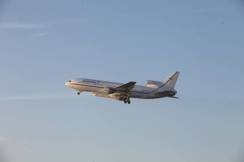
NASA plans to launch the Cyclone GNSS (CYGNSS) hurricane mission aboard a Pegasus XL rocket on December 12 from Cape Canaveral Air Force Station in Florida. CYGNSS, which is NASA’s first Earth science small-satellite constellation, will help improve hurricane intensity, tracking, and storm surge forecasts, the agency said.
NASA plans to launch the Cyclone GNSS (CYGNSS) hurricane mission aboard a Pegasus XL rocket on December 12 from Cape Canaveral Air Force Station in Florida. CYGNSS, which is NASA’s first Earth science small-satellite constellation, will help improve hurricane intensity, tracking, and storm surge forecasts, the agency said.
CYGNSS, a constellation of eight microsatellites shot into orbit on a single launch vehicle, will measure the surface roughness of the world’s oceans. Mission scientists will use data collected to calculate surface wind speeds, providing a better picture of a storm’s strength and intensity, and storm surges, which include walls of water that do the most damage when hurricanes make landfall.
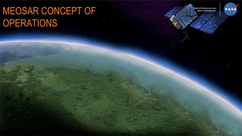
While in orbit, the satellites will receive both direct and reflected signals from GPS satellites.
"As a constellation of eight spacecraft, CYGNSS will do what a single craft can’t in terms of measuring surface wind speeds inside hurricanes and tropical cyclones at high time-resolution, to improve our ability to understand and predict how these deadly storms develop," said Thomas Zurbuchen, NASA Science Mission Directorate associate administrator.
Other weather satellites cannot penetrate heavy rain in a hurricane’s eyewall to gather intense inner core storm data, but CYGNSS can, NASA said. In addition, CYGNSS small satellite observatories will monitor surface winds over the oceans across Earth’s tropical hurricane-belt latitudes, the agency said.
The University of Michigan’s Space Physics Research Laboratory leads the overall mission in partnership with the Southwest Research Institute, which heads up the science investigation. The Earth Science Division of NASA’s Science Mission Directorate oversees the mission. "Today, we can’t see what’s happening under the rain," said Chris Ruf, University of Michigan professor and principal CYGNSS mission investigator. "We can measure the wind outside of the storm cell with present systems. But there’s a gap in our knowledge of cyclone processes in the critical eyewall region of the storm, a gap that will be filled by the CYGNSS data. The models try to predict what is happening under the rain, but they are much less accurate without continuous experimental validation."
NASA said that the CYGNSS satellites, originally scheduled for launch in October and November, have successfully completed functional and environmental testing at the Southwest Research Institute in San Antonio, Texas. The tests simulate harsh space and launch environments.
According to the Southwest Research Institute, all of the spacecraft were placed in a vacuum chamber and cycled through extreme hot and cold temperatures they will face in orbit.
CYGNSS will carry Surrey Satellite Technology’s (SSTL) Space GNSS Receiver-Remote Sensing Instrument (SGR-ReSI) to measure ocean roughness. SGR-ReSI is already onboard the TechDemSat-1, a small technology demonstration satellite launched by SSTL in 2014. With support from the European Space Agency (ESA), SSTL and the United Kingdom’s National Oceanography Center (NOC) are working with TechDemoSat-1 data to improve measurement calibration, new techniques, and applications, the company said.
SGR-ReSI was developed by SSTL to calculate TechDemoSat-1’s position and speed by measuring ranges and trilaterating its position from GNSS satellites. The SGR-ReSI also carries a high-gain nadir antenna to use with GNSS reflectometry for signal collection and measurement, the company said.


