 FIGURE 1: Satellite geometry, signal availability, and noise
With Europe’s decision on March 26, 2002, to build up its own global satellite navigation system (GNSS), a new era began in this high-tech field. Although China is joining the European Galileo system — the third global system in addition to the American GPS and the Russian GLONASS — one could hear at recent international symposia in China that we probably do not have long to wait before China starts developing another (fourth) independent global system. Meanwhile, Japan is developing a regional satellite navigation system, the Quasi-Zenith Satellite System (QZSS). India is proceeding with its GPS And GEO Augmented Navigation (GAGAN) system.
While a 24-to 30-satellite constellation may satisfy many user communities, it is not sufficient to fully support some applications in urban areas and mountainous regions. A seamless worldwide navigation service for all kinds of users requires a “global system of systems” assuming interoperability and compatibility among the systems.
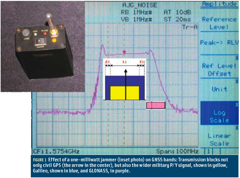
. . . Compatibility means that GNSS systems do not interfere with each other, and that non-military (and nongovernmental) signals can be jammed without adversely affecting those signals.
. . . The navigation warfare aspects of compatibility remain classified. Interference computations themselves would fill a large technical note. In general, we differentiate between intra-system and inter-system interference. Intra-system interference can actually be much larger than the intersystem interference. We often focus only on the interference between different GNSS systems — as is the case in the annex to the 2004 EU-US agreement. However, other inband interference — for example, the distance measuring equipment (DME) interference in E5a and E5b — as well as spurious or out-of-band interferences might be even a more serious problem. Here we should mention the ultra-wide band problem and the matter of GNSS re-radiators for indoor use.
As for the definition of interoperability . . . we need to clarify what it means. One can split the general term up into system interoperability — where different GNSS systems provide the same answer, within the specified accuracy of each individual system, and signal interoperability — in which different GNSS systems transmit signals allowing to combine them in a “simple” receiver for a combined PNT solution.
(For the rest of this story, please download the complete article using the PDF link above)


