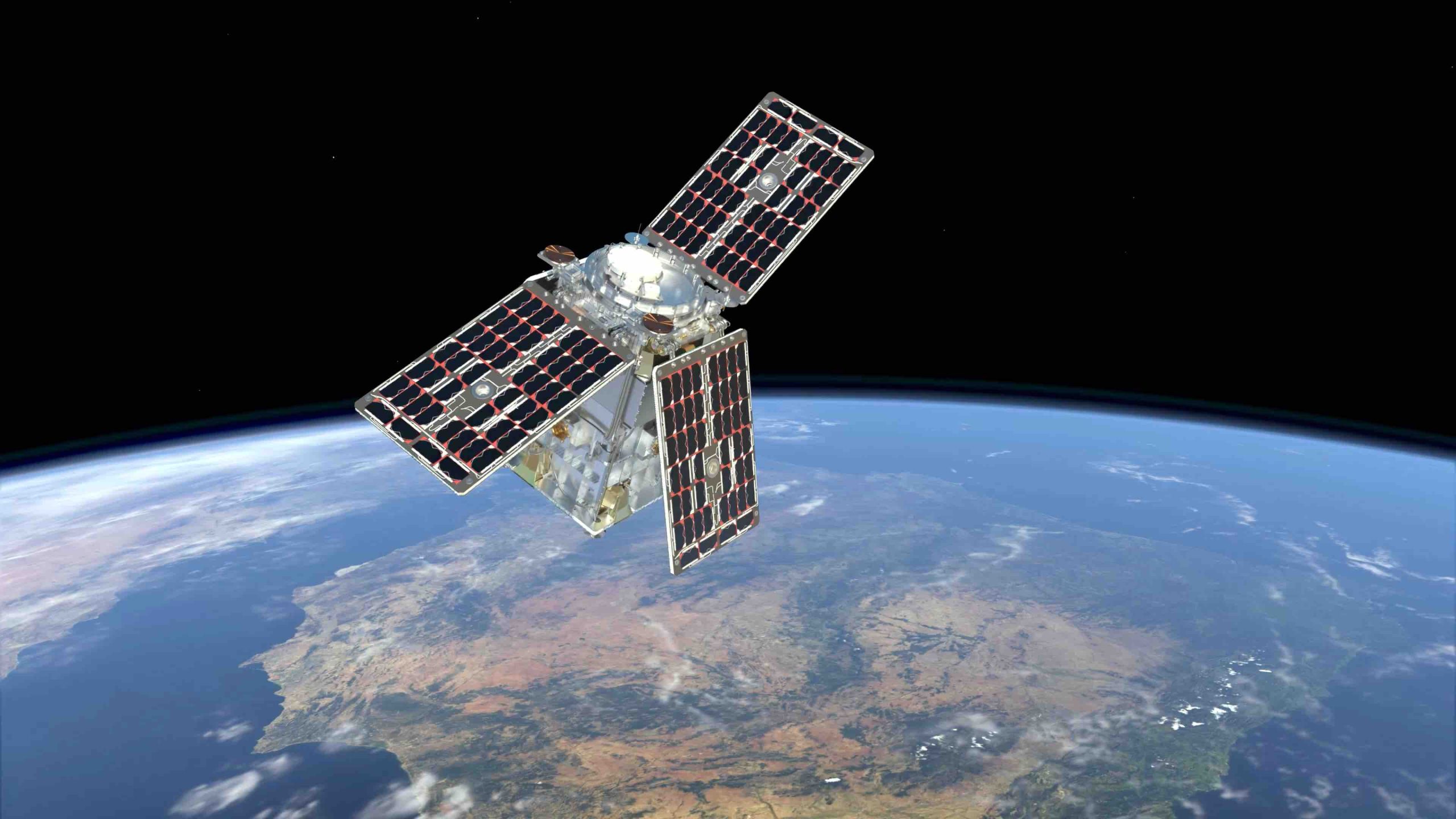
The European Space Agency (ESA) HydroGNSS Scout mission has officially completed its eight-month commissioning phase, now entering full scientific operations. The two-satellite constellation represents a significant leap forward in utilizing GNSS reflectometry (GNSS-R) for remote sensing. By leveraging passive bistatic radar principles, the mission captures and analyzes L-band signals originally transmitted by GPS and Galileo navigation satellites.
According to the HydroGNSS team, these signals are received after reflecting off the Earth’s surface. By comparing the delayed, scattered reflections against the direct signals received straight from the navigation constellations, the onboard instruments derive critical hydrological variables. The mission targets key environmental indicators, including soil moisture, wetland inundation, freeze-thaw dynamics, and above-ground biomass.
The architecture represents a paradigm shift in cost-effective Earth observation, designed and built for ESA by Surrey Satellite Technology Ltd (SSTL). The payloads build upon early GNSS-R concepts demonstrated on TechDemoSat-1 and NASA’s CYGNSS mission. However, HydroGNSS features advanced instruments capable of exploiting multiple GNSS constellations, multi-frequency signals, and dual-polarizations simultaneously.
This multi-constellation capability drastically improves spatial and temporal resolution. Notably, some of the Galileo satellites whose signals are reflected and used by HydroGNSS were also built by SSTL, highlighting a unique industrial synergy.
High-flying resolution
A key feature of the mission is its high-resolution coherent channel. This channel analyzes the phase behavior of the reflected GNSS signals to map surface water along satellite tracks at a sharp 300-meter resolution. When combined over time, data from the two HydroGNSS spacecraft build highly detailed global maps.
Initial data comparisons highlight the unique advantages of spaceborne GNSS-R over traditional active remote sensing. While active C-band radar instruments, such as those on the Sentinel-1 satellites, often struggle to penetrate dense forest canopies, the L-band signals utilized by HydroGNSS excel at subsurface and sub-canopy penetration. This allows the mission to detect hidden wetlands and flooded areas beneath heavy vegetation, providing critical data to refine global carbon cycle models.
Following rigorous validation, ESA has made all HydroGNSS data freely available to aid climate research. With commissioning complete, this mission transforms hydrological monitoring by delivering high-resolution insights into soil moisture and hidden wetlands. It proves agile, cost-effective small satellites can secure a resilient future for global water resource management.