February 15, 2010
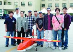
SNUGL team members: From left to right, Byungjoon Park (BJ Hobby Craft), Jihoon Kim, Prof. Changdon Kee, Am Cho, Bosung Kim, Dongkeon Kim, Noha Park, Sanghoon Jeon, and Donghwan Bae
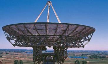
1 Antenna, 3 Dimensions
SNUGL team members: From left to right, Byungjoon Park (BJ Hobby Craft), Jihoon Kim, Prof. Changdon Kee, Am Cho, Bosung Kim, Dongkeon Kim, Noha Park, Sanghoon Jeon, and Donghwan BaeGPS has been widely used as a navigation sensor for numerous applications including unmanned aerial vehicles (UAVs). Many researchers have devoted considerable efforts to expand the role of GPS in guidance, navigation and control to determining an aircraft’s attitude. That would enable us to use a GPS receiver as a sensor for an automatic control system as well as a navigation sensor.
By