Uncategorized

Environmental Sensing

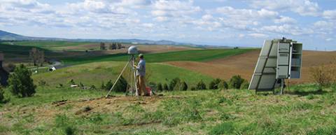
In the past 20 years GPS has simultaneously revolutionized both our modern infrastructure (by providing real-time navigation, mapping, and timing support) and our geodetic/surveying capabilities (by providing millimeter/centimeter-level positioning). At this point, most of the GNSS innovations we expect to see in the next decade will come from calculating positions more accurately and faster, while expanding from GPS to use of all available GNSS signals.

Read More >

By Inside GNSS

GPS Receiver Performance On Board a LEO Satellite

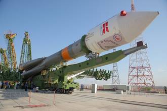
The small satellite “Technologie-Erprobungs-Träger 1” (TET-1) is the first spacecraft developed for the German Aerospace Center (DLR) On-Orbit-Verification (OOV) program, which provides flight opportunities dedicated to testing and qualification of new technologies in space. The satellite was lifted into a low-Earth orbit (LEO) on July 22, 2012, from the launch site in Baikonur, Kazakhstan.

Read More >

By Inside GNSS
[uam_ad id="183541"]
[uam_ad id="183541"]

GNSS Hotspots | May 2014

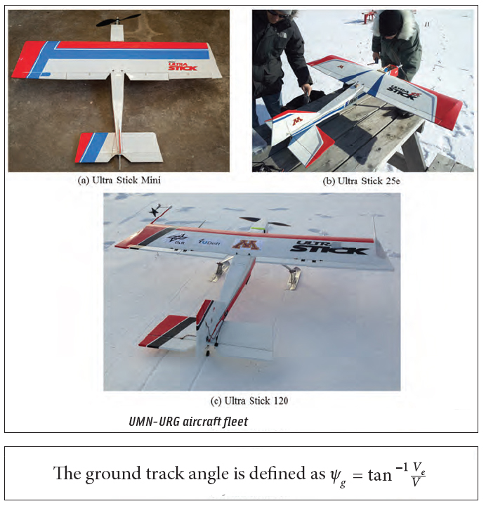
JPL uses GPS to find Sierra Nevada water weight; Near collision of drone and regional jet prompts questions, West Antarctic ice sheet melt at “point of no return,” First Galileo FOC satellites at launch site, China’s GBAS tested in Tianjin

Read More >

By Inside GNSS
1 27 28 29 30 31 82
IGM_e-news_subscribe