November 1, 2013
U.S. Circuit Court Decision Broadens Requirement for Warrants in GPS-Aided Searches
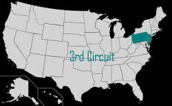
A Third Circuit U.S. Court of Appeals recent decision to suppress evidence in a criminal case obtained by placing a GPS-based tracking unit on a suspect’s van appears to strengthen the requirement for police to obtain warrants before taking such measures.
By Inside GNSS