December 27, 2016
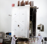
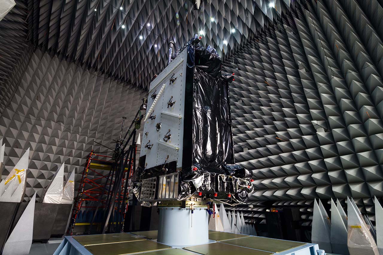 GPS III satellites in production. Image Source: Lockheed Martin.
Air Force Continues to Test GPS III Satellite
GPS III satellites in production. Image Source: Lockheed Martin.The U.S. Air Force Space and Missile Systems Center (SMC) says it continues to work on GPS III ceramic capacitor testing and plans to have an updated launch schedule published late next month.
As Inside GNSS reported, the first GPS III satellite’s delivery, originally scheduled for August, was delayed by four months because of a Lockheed Martin subcontractor’s failure to test a ceramic capacitor.
By Inside GNSS