Magazine Section Archives - Page 38 of 66 - Inside GNSS - Global Navigation Satellite Systems Engineering, Policy, and Design

Magazine Section

July 18, 2013

Spoofing

Logan Scott, LS Consulting
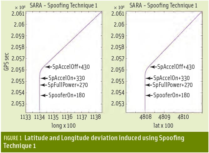
Sometimes GNSS spoofing seems a bit like UFOs: much speculation, occasional alarms at suspected instances, but little real-world evidence of its existence.

As far back as 2001, a U.S. Department of Transportation Volpe Center report suggested that as GPS further penetrates into the civil infrastructure, “it becomes a tempting target that could be exploited by individuals, groups or countries”.

Read More >

By Inside GNSS

Location, Location, Location

In a part of the world where frustrated drivers will park anywhere, including squarely on a sidewalk, a local newspaper is using location data to shame car owners into shaping up.

The Village, a Russian online publication serving Moscow, St. Petersburg and Kiev; created a free app that notes a badly parked vehicle’s make, color, and license plate information when users snap its picture.

Read More >

By Dee Ann Divis
July 17, 2013

GNSS Hotspots | July 2013

One of 12 magnetograms recorded at Greenwich Observatory during the Great Geomagnetic Storm of 1859
1996 soccer game in the Midwest, (Rick Dikeman image)
Nouméa ground station after the flood
A pencil and a coffee cup show the size of NASA’s teeny tiny PhoneSat
Bonus Hotspot: Naro Tartaruga AUV
Pacific lamprey spawning (photo by Jeremy Monroe, Fresh Waters Illustrated)
“Return of the Bucentaurn to the Molo on Ascension Day”, by (Giovanni Antonio Canal) Canaletto
The U.S. Naval Observatory Alternate Master Clock at 2nd Space Operations Squadron, Schriever AFB in Colorado. This photo was taken in January, 2006 during the addition of a leap second. The USNO master clocks control GPS timing. They are accurate to within one second every 20 million years (Satellites are so picky! Humans, on the other hand, just want to know if we’re too late for lunch) USAF photo by A1C Jason Ridder.
Detail of Compass/ BeiDou2 system diagram
Hotspot 6: Beluga A300 600ST

1. ASHES & AIRPLANES
Boulder, Colorado USA

Read More >

By Inside GNSS
[uam_ad id="183541"]

Receiver Architecture

Q: What is a maximum likelihood vector tracking receiver?

A: Vector tracking in GNSS receivers is based on the idea that instead of tracking each satellite’s signal separately, all signals are ultimately related to the position and velocity of the user antenna and thus can be tracked collectively. (See the discussion in this column in Sept/Oct 2012 issue of Inside GNSS by Drs. Lashley and Bevly for more information.)

Read More >

By Inside GNSS

Phones, Drones and Privacy

Every breath you take . . .
Every move you make
Every step you take
I’ll be watching you

I originally planned on titling this column, “Waiting to Inhale,” recalling these lyrics and an editorial I wrote more than four years ago about my sense of relief at the departure of the second Bush administration.

I called that one, “Waiting to Exhale.”

Read More >

By Inside GNSS

Adding Intelligence to Receivers

GNSS receivers and users, along with the critical infrastructures and services they support, face a growing threat from jamming, spoofing, and meaconing (JSM) events.

Several proposals for GNSS spoofing detection and signal authentication have been proposed over in recent years. These have focused mainly on adding cryptography elements to the GNSS signals and detecting RF characteristics of undesired signals.

Read More >

By Inside GNSS
[uam_ad id="183541"]

Something Old, Something New

The past 15 years have witnessed tremendous developments of new and modernized satellite-based navigation (satnav) systems, including GNSSs, regional systems, and space-based augmentation systems (SBASs). These have been enabled by the original designs of GPS and GLONASS and, in turn, have stimulated the design of satnav signal structures with different characteristics from those pioneer systems.

Read More >

By Inside GNSS
June 4, 2013

Air Force Proposes Dramatic Redesign for GPS Constellation

[Updated June 3, 2013] With the budget vise tightening, top Pentagon managers are readying some potentially dramatic changes to the GPS constellation — changes that promise to lower both the cost of the satellites and the expense of putting them into orbit.  

The first changes would be subtle and are linked to buying the next block of GPS III satellites — a decision that sources confirm will be made by the end of September.  

Read More >

By Dee Ann Divis
May 28, 2013

GNSS Hotspots | May 2013

One of 12 magnetograms recorded at Greenwich Observatory during the Great Geomagnetic Storm of 1859
1996 soccer game in the Midwest, (Rick Dikeman image)
Nouméa ground station after the flood
A pencil and a coffee cup show the size of NASA’s teeny tiny PhoneSat
Bonus Hotspot: Naro Tartaruga AUV
Pacific lamprey spawning (photo by Jeremy Monroe, Fresh Waters Illustrated)
“Return of the Bucentaurn to the Molo on Ascension Day”, by (Giovanni Antonio Canal) Canaletto
The U.S. Naval Observatory Alternate Master Clock at 2nd Space Operations Squadron, Schriever AFB in Colorado. This photo was taken in January, 2006 during the addition of a leap second. The USNO master clocks control GPS timing. They are accurate to within one second every 20 million years (Satellites are so picky! Humans, on the other hand, just want to know if we’re too late for lunch) USAF photo by A1C Jason Ridder.
Detail of Compass/ BeiDou2 system diagram
Hotspot 6: Beluga A300 600ST

1. PESTS

State of California, USA
√ The California Agriculture department is using collective intelligence and GPS to “report a pest.” State residents can download the new CDFA smartphone app and use it to photograph and report bad bugs when they see ‘em. Those with iPhones can choose to send GPS coordinates for quick response to invasive pest emergencies.

Read More >

By Inside GNSS

BeiDou Gets Ready for the Global Marketplace

The fourth China Satellite Navigation Conference (CSNC 2013) wound up its three-day run on May 17 in Wuhan — by all measures a clear success for an event that has become the nation’s leading international GNSS forum.  

A key take-away from the event: China is rapidly preparing to bring BeiDou products and technology into the international marketplace is encouraging its industry to build an internationally applicable knowledge base in standards, patent law, and intellectual property rights (IPR).  

Read More >

By Inside GNSS

BeiDou

Prof. Jingnan Liu, Chinese Academy of Engineering

Since announcing plans in late 2006 to build its own GNSS system — BeiDou-2 (BDS), China proceeded quickly to establish a fully operational regional system late last year with a clear plan to complete a global system by 2020.

Beginning with its first launch in April 2007, BDS has put 16 satellites in orbit, some in dual launches, with 14 BeiDou space vehicles currently transmitting healthy signals: 5 in geostationary orbits (GEO), 5 in inclined geosynchronous orbits (IGSO), and 4 middle Earth orbit (MEO) spacecraft.

Read More >

By Inside GNSS

Di Qiu: Opportunities of Signals

Di Qiu at the site of her current employer

SIDEBAR: Di Qiu’s Compass Points

Landing all-weather aircraft safely in storms. Protecting sensitive data not only through encryption but based on the location at which it is being accessed. Ensuring that accurate and timely information reaches first responders responding to emergencies. 

Although still in the early part of her career, Di Qiu has already made significant contributions to these crucial applications of navigation technology. 

Read More >

By Inside GNSS
1 36 37 38 39 40 66
IGM_e-news_subscribe