March 1, 2024
FrontierSI Advocates for Strengthened Australian PNT Infrastructure Amid Rising Cyber Threats
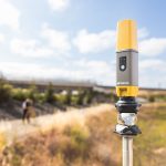
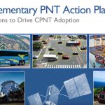
FrontierSI, a not-for-profit research organization with expertise in positioning, geodesy, spatial infrastructures and rapid spatial analytics, has unveiled a roadmap to fortify Australia’s Positioning, Navigation, and Timing (PNT) infrastructure. This move, articulated in a new white paper and technical report, comes as the digital era’s increasing reliance and emerging cyber threats spotlight the urgency of securing resilient PNT technology essential for various critical sectors from agriculture to finance.
By Inside GNSS