August 23, 2024
UAVOS Tests Navigation with GNSS-denied, Computer Vision Capabilities
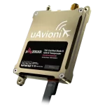
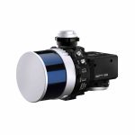
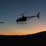
UAVOS partnered with its client to test UAVOS’ autopilot system using computer vision. UAVOS’ Engineering Service supported this testing with its advanced avionics system integrated into its unmanned helicopter.
By Inside GNSS