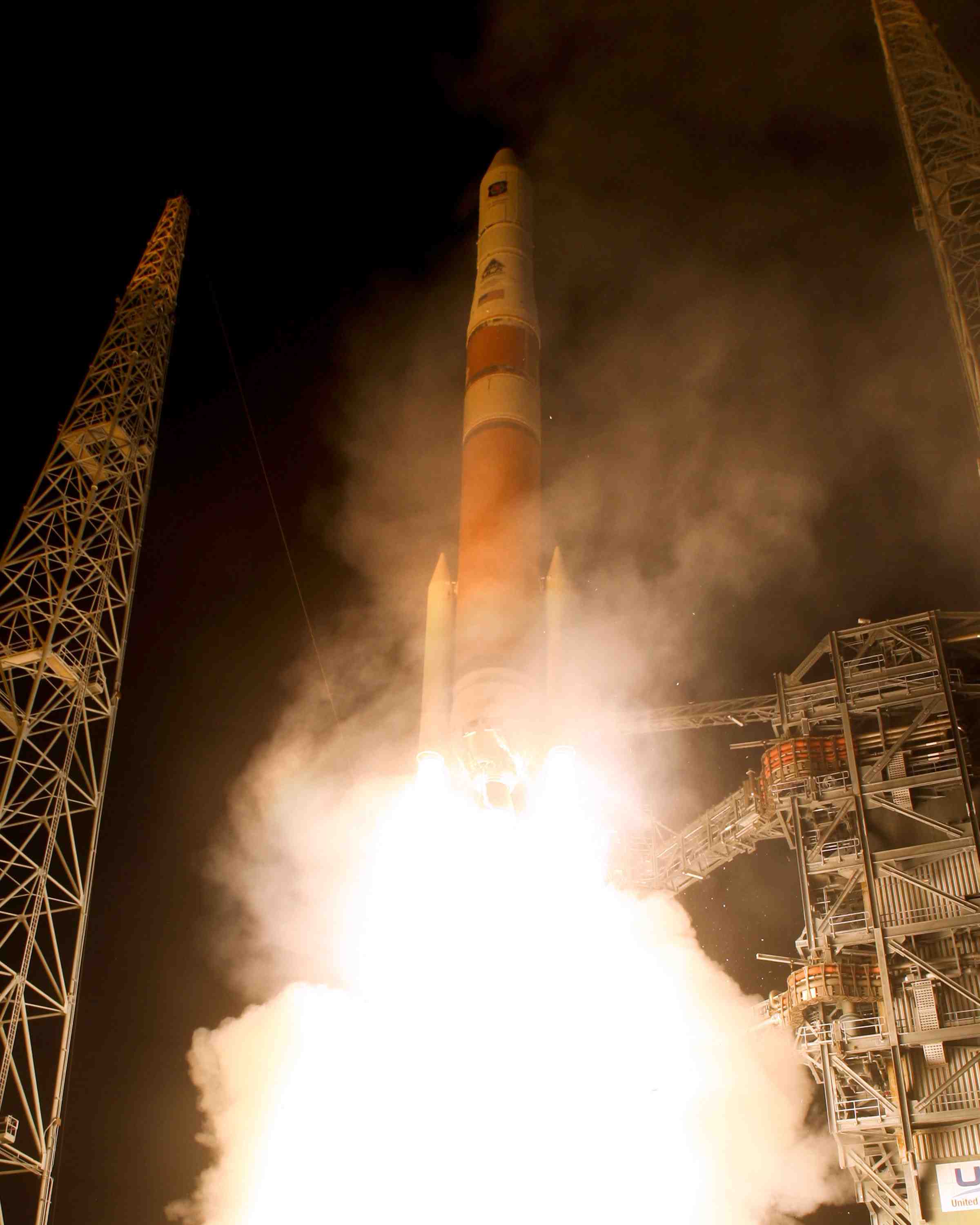
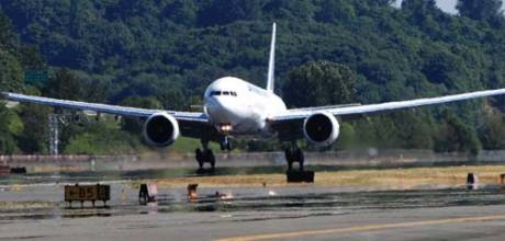
Survey and Mapping Archives - Page 23 of 27 - Inside GNSS - Global Navigation Satellite Systems Engineering, Policy, and Design

Survey and Mapping

September 7, 2009

GeoForm+ 2010 /GeoWAY

GeoWAY, now in its fifth year, will cover intelligent transport systems and satellite navigation. It will take place in Pavillion 1, Hall 1 at the Crocus Exposition Center in Moscow, Russia from March 30 to April 2 2010.

It is one of the four specialized exhibitions of GeoForm+ 2010, the seventh international industrial Forum of geodesy, cartography, navigation, geoinformation systems, engineering geology and geophysics, tunnel and utility systems construction.

Read More >

By Inside GNSS

International Symposium on GPS/GNSS 2009

This year, the International Symposium on GPS/GNSS, which rotates throughout the Asia-Pacific region, will take place in semitropical Jeju, Korea’s only island province, November 4 to 6, 2009.

The theme is "Interchangeability for PnP GNSS".

The chair of the program committee is Chungnam National University Professor Sang Jeong Lee.

Read More >

By Inside GNSS
[uam_ad id="183541"]
July 26, 2009

Satellite Numbers Game

The recent GAO report and Government Oversight subcommittee hearing on GPS sustainability generated more heat than light, with some major news media outlets leaving the impression that the sky (or at least GPS satellites) would soon be falling.

Perhaps the only silver lining in the ensuing Chicken Little phenomenon was the crude measure it provided of just how familiar (but not necessarily knowledgeable) private citizens have become with GPS.

Read More >

By
[uam_ad id="183541"]
March 25, 2009

Kai Borre

Originally graduated as a chartered surveyor, Kai Borre obtained his Ph.D. in geodesy from Copenhagen University, and a Doctor of Technology  degree from Graz University of Technology. He has been a full professor in geodesy at Aalborg University since 1976.

For more than 30 years Borre has conducted research and performed education in the area of satellite based positioning. In 1996 he established the Danish GPS Center and since 2000 has been head of a two-year international M.Sc. program in GPS technology.

Read More >

By Inside GNSS
January 25, 2009

Trimble Rolls Out New Ag Products

EZ-Guide 500 VRA

Trimble has introduced a series of new products targeting the agriculture market where the company has been doing particularly well in recent years. These include an integrated display for manual or automated machine operation, a variable rate application (VRA) option for the company’s lightbar guidance system, and two new differential GPS receivers.

Trimble has introduced a series of new products targeting the agriculture market where the company has been doing particularly well in recent years. These include an integrated display for manual or automated machine operation, a variable rate application (VRA) option for the company’s lightbar guidance system, and two new differential GPS receivers.

The AgGPS FmX integrated display can operate as either a stand-alone manual guidance system or as part of an automated guidance, implement control or steering system. The FmX touch screen display is 12.1 inches, approximately 35 percent larger than the industry standard 10.4-inch screen, yet the display requires no more space in the cab than its predecessor, the AgGPS FieldManager, according to the company.

Read More >

By Glen Gibbons
January 12, 2009

Dual-Frequency RTK GPS Receiver

Hemisphere GPS offers the dual-frequency R220 GPS receiver, a 39-channel that offers real-time kinematic (RTK) operation with 12 channels of L1 C/A code, 12 channels of L1 P-code, and 12 channels of L2 P-code tracking. The other three channels can be used for tracking satellite-based augmentation systems including OmniSTAR’s commercial HP and XP differential correction services or three additional channels of L1 C/A-code tracking.

Read More >

By Glen Gibbons
December 26, 2008

GNSS Postprocessing Software

OnPOZ Precision Positioning (a division of VGI Solutions) offers a new EZSurv GNSS Post-Processing version that offers full compatibility with GLONASS satellite signals. According to the company, EZSurv is compatible with most of the raw GNSS data formats on the market. The software computes high-accuracy geodetic results, enabling seamless data postprocessing among different brands of GNSS receivers using the following surveying modes: static, rapid static, stop and go, kinematic, semi-kinematic, and on-the-fly (OTF) for single and dual frequency receivers.

Read More >

By Glen Gibbons
November 24, 2008

Trimble Dimensions 2009

The Trimble Dimensions 2009 conference and exhibition takes place at The Mirage in Las Vegas, Nevada. Learn how to get the most from your positioning equipment. Listen to industry leaders discuss the future of positioning. Connect with peers from around the world at the exhibition.

Keynote speakers include Steve Bergland, Trimble president and CEO; Robert Kriegel, author of If It Ain’t Broke…Break It! and Steve Squyres, principal investigator for the Mars Exploration Rover Project

Read More >

By Inside GNSS
1 21 22 23 24 25 27
IGM_e-news_subscribe