January 7, 2011
Spirent Launches GPS Record and Playback System
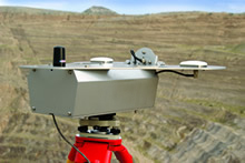
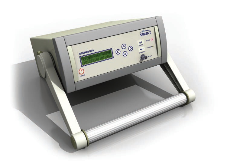
Spirent Communications, long established in the laboratory test marketplace with its line of navigation and positioning simulators, has extended its product development into real-world environments by introducing a GNSS record and playback system (RPS).
By Inside GNSS
.jpg)