Every breath you take . . .
Every move you make
Every step you take
I’ll be watching you
I originally planned on titling this column, “Waiting to Inhale,” recalling these lyrics and an editorial I wrote more than four years ago about my sense of relief at the departure of the second Bush administration.
I called that one, “Waiting to Exhale.”
By Inside GNSSFederal officials are working to fill a funding shortfall nearly certain to occur next year given that both the House and Senate have cut an already halved budget request for GPS civil funding.
Sources confirm the Federal Aviation Administration (FAA) and the Department of Defense (DoD) are in talks about finding money to make up for the dramatic reduction. One source familiar with the situation said the FAA was searching its accounts for resources to address the loss.
By Inside GNSSA new GPS-based technology designed to warn drivers in time to avoid collisions has anonymizing elements in its design to keep the location of vehicles private, according to the Department of Transportation (DoT).
DoT has focused a lot of effort on reducing motor vehicle accidents — a leading cause of death in the United States. Nearly 34,000 people died in collisions in 2010, the latest year for which data is available, according to the Centers for Disease Control. CDC estimates the lifetime costs of crash-related deaths and injuries in 2005 alone were $70 billion.
By Inside GNSSNovAtel Inc. has announced the addition of the two receivers and two antennas to its GNSS product lines: the OEM638 GNSS receiver card, ProPak6 enclosure, SMART6 integrated antenna, and AG-STAR antenna.
By Inside GNSSThe past 15 years have witnessed tremendous developments of new and modernized satellite-based navigation (satnav) systems, including GNSSs, regional systems, and space-based augmentation systems (SBASs). These have been enabled by the original designs of GPS and GLONASS and, in turn, have stimulated the design of satnav signal structures with different characteristics from those pioneer systems.
By Inside GNSSAbstracts are due on July 14 for next spring’s 2014 IEEE Aerospace Conference.
It will be held at the Yellowstone Conference Center in Big Sky, Montana from March 1 through 7.
Track 4 is of particular interest to readers of Inside GNSS. It covers Communication and Navigation Systems and Technologies. The track chairs are Phil Dafesh, The Aerospace Corporation and Shiley Tseng, a systems engineer and consultant on satellite and terrestrial high-performance networks.
By Inside GNSSSpecifically designed for those attending the 2013 Institute of Navigation GNSS conference, this four-day course will take place before that event on Friday, September 13; Saturday, September 14; Monday, September 16 and Tuesday, September 17 in Nashville, Tennessee.
It will be taught by Dr. John Betz, the MITRE Corporation.
This course requires a solid background in GPS and familiarity with basic signal processing techniques and engineering mathematics.
By Inside GNSSDoctoral-level graduate students and early-career engineers, researchers and instructors from Japan and the rest of the world will meet at a weeklong summer seminar this August in Tokyo, sponsored by the Institute of Positioning, Navigation and Timing of Japan.
The summer school will take place in from August 19 through August 24 at the Tokyo University of Marine Science and Technology (TUMSAT). Classes wil be held in English.
In a set of decisions that could potentially slow GPS modernization both the House and Senate Appropriations Committees this week slashed funding for the civil community’s contribution to the GPS system from the Fiscal Year 2014 (FY14) budget.
The House eliminated the entire amount of the White House budget request for $20 million, which is paid through the Federal Aviation Administration (FAA). The Senate cut a mere $5 million — 25 percent of what had been the requested.
By Inside GNSSThe U.S. Department of Homeland Security has released an abbreviated fact sheet and a summary report on its evaluation of the risks to U.S. critical infrastructure from GPS disruptions.
The unsurprising “bottom line,” as the public summary put it: “U.S. critical infrastructure sectors are increasingly at risk from a growing dependency on GPS for positioning, navigation, and timing (PNT) services. Such dependencies are not always apparent.”
By Inside GNSSThe European GNSS Agency (GSA) has announced the award of an eight-year, €450 million (US$585.4 million) EGNOS Service Provision (ESP) contract to ESSP, the European Satellite Services Provider.
ESSP has provided EGNOS (European Geostationary Navigation Overlay Service) services since 2009 under the current contract with the European Commission, which continues until the end of this year. The new contract will cover the period 2014-2021 (inclusive).
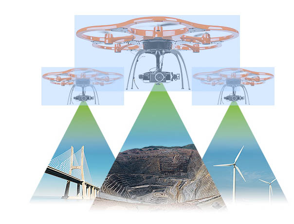
By Inside GNSSTrimble has introduced its next-generation unmanned aircraft system (UAS) — the UX5 aerial imaging rover with the Trimble Access aerial imaging application.
According to the Sunnyvale, California– based company, the new UAS enhances the image quality and workflows its predecessor, the Trimble Gatewing X100. Combined with the Trimble Business Center photogrammetry office software module, the Trimble UX5 is provides a UAS photogrammetric mapping solution specifically designed for surveyors and geospatial professionals.