January 26, 2018
Now Deemed a “New Start,” GPS IIIF May Face More Delays
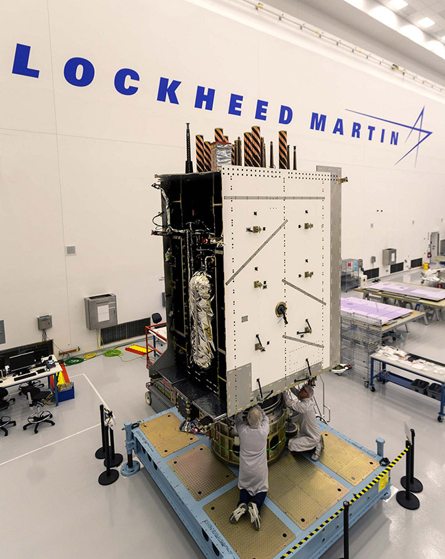
A decision by the Department of Defense (DoD) may be what’s holding up action on the Air Force’s $10 billion plan to build 22 new GPS IIIF satellites and could increase the chances of further, perhaps substantial, delays.
By Inside GNSS