Galileo

April 1, 2013

InterGEO 2013

The 2013 InterGEO conference and trade fair for geodesy, geoinformation and land management will take place at Exhibition Ground in Essen on October 8, 9 and 10.

The conference topics cover geodesy, surveying and GIS; remote sensing and photogrammetry hardware, software and services; geoinformation and complementary solutions. The conference language is German.

For more information about the conference, contact Christine Salbach, CEO of DVW GmbH at the email address below. 

Read More >

By Inside GNSS
March 26, 2013

ICL-GNSS 2013: Localization and GNSS Conference

NH Santo Stefano Hotel

The 2013 International Conference on Localization and GNSS will take place from June 25 to 27 at the NH Santo Stefano hotel in downtown Torino, Italy.

ICL-GNSS 2013 will address the latest research on satellite-based and complementary positioning techniques for use outdoors and indoors, and on different platforms such as stand-alone navigators, PDAs and mobile devices.

The emphasis is on GNSS receiver design, related signal processing methods and leading-edge technologies.

Read More >

By Inside GNSS
March 25, 2013

Letters: Get a Start on GNSS Interoperability Now

“The GNSS Quartet” (January-February 2013, Inside GNSS, aptly named and coauthored by Glen Gibbons, Dee Ann Divis, and Peter Gutierrez) is reminiscent of Dr. Brad Parkinson’s observation about “interchangeability” at his ION GNSS 2011 plenary session. With interoperability taken to its logical level of completion, a position solution should be readily obtainable from four satellites, each belonging to a different constellation.

Read More >

By Inside GNSS

[uam_ad id="183541"]

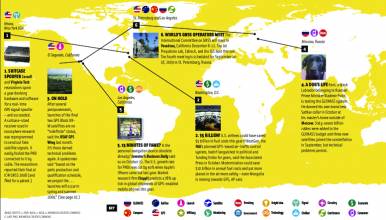
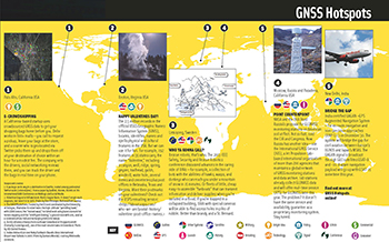
GNSS Hotspots | March 2013

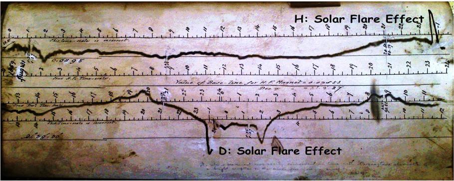
One of 12 magnetograms recorded at Greenwich Observatory during the Great Geomagnetic Storm of 1859
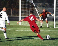
1996 soccer game in the Midwest, (Rick Dikeman image)
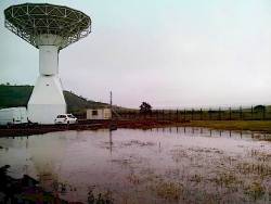
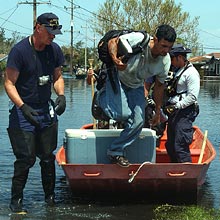
Nouméa ground station after the flood
A pencil and a coffee cup show the size of NASA’s teeny tiny PhoneSat
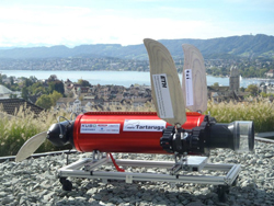
Bonus Hotspot: Naro Tartaruga AUV
Pacific lamprey spawning (photo by Jeremy Monroe, Fresh Waters Illustrated)
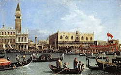
“Return of the Bucentaurn to the Molo on Ascension Day”, by (Giovanni Antonio Canal) Canaletto
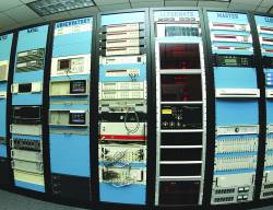
The U.S. Naval Observatory Alternate Master Clock at 2nd Space Operations Squadron, Schriever AFB in Colorado. This photo was taken in January, 2006 during the addition of a leap second. The USNO master clocks control GPS timing. They are accurate to within one second every 20 million years (Satellites are so picky! Humans, on the other hand, just want to know if we’re too late for lunch) USAF photo by A1C Jason Ridder.
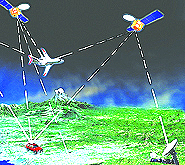
Detail of Compass/ BeiDou2 system diagram
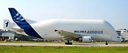
Hotspot 6: Beluga A300 600ST

1. LATE LAUNCHES
Cape Canaveral and Plesetsk
√ [updated April 1] After three delays, a single GLONASS-M satellite will go up from Plesetsk space center on April 26. The United States will send up SVN66, the fourth GPSIIF satellite— on an Atlas V launcher for the first time—during the early evening of May 15. It had been delayed from March.

Read More >

By Inside GNSS
March 24, 2013

Galileo on Its Own

TABLE 1: Deployment Status Note: Two types of clocks on board: PHM = Passive Hydrogen Maser, RAFS = Rubidium Atomic Frequency Standard

Europe’s new age of satellite navigation has passed a historic milestone — the very first determina-tion of a ground location using the four Galileo satellites currently in orbit together with their ground facilities.

This fundamental step confirms the Galileo system works as planned.

Read More >

By Inside GNSS
March 20, 2013

COCESNA: Technical and Operational Workshop on GNSS

This practical workshop targets professionals in the aviation sector and others interested in GNSS. It will take place on May 6 and 7 in San Salvador, El Salvador.

It is sponsored by the Central America Organization for Aerial
Navigation Services and the Galileo Information Center for Latin
America.

The topics are:

Read More >

By Inside GNSS

SASGI 2013: SA Surveying + Geomatic Indaba 2013

SASGI 2013 will take place at the Emperors Palace in Gauteng, South Africa on July 22, 23 and 24. The theme is Geospatial Solutions for National Development Planning.

This is the annual South African conference of surveying, geo-informatics, GIS, mapping, remote sensing and location-based business.


The conference is wide-ranging and will cover:

Read More >

By Inside GNSS
[uam_ad id="183541"]
March 18, 2013

eCall Rising

eCall is the European Union (EU) initiative aimed at reducing road casualties by increasing the speed and efficiency of emergency response. It involves a device installed in cars that will automatically dial the EU’s “112” emergency phone number in the event of a serious road accident.

Key data including time, date, and GNSS coordinates will be sent to the Public Safety Answering Point (PSAP) and then relayed to the most appropriate emergency service. The eCall is triggered by airbag deployment and impact sensor information.

Read More >

By Peter Gutierrez
March 14, 2013

NavSAS, Septentrio Report Galileo IOV Positioning Results

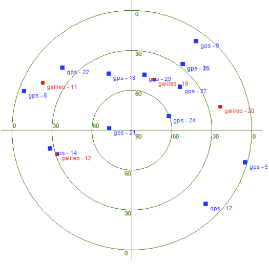
Skyplot of Galileo IOV satellite locations used in Septentrio position determination.

Two European organizations announced successful positioning results yesterday (March 12, 2013) using signals from the four Galileo in-orbit validation (IOV) satellites.

The NavSAS group of Politecnico di Torino and Instituto Superiore Mario Boella in Turin, Italy, obtained its first Galileo autonomous position using signals from the Protoflight Model (PFM) and three Flight Model space vehicles (FM2, FM3, FM4), which have started transmitting valid navigation messages.

Read More >

By Inside GNSS
March 12, 2013

ESA Achieves First Galileo-Only 3D Position Fix

Measurements of individual Galileo horizontal position fixes performed for the first time using the four Galileo satellites in orbit plus the worldwide ground system between 1000 and 11:00 CET on Tuesday 12 March 2013, showing an overall horizontal accuracy over ESTEC in Noordwijk, the Netherlands, of 6.3 meters. ESA figure

The European Space Agency (ESA) has announced a key milestone today (March 12, 2013) in the development of Europe’s GNSS program: the first determination of a ground location using the four Galileo satellites currently in orbit together with the system’s ground infrastructure.

This fundamental step confirms the Galileo system works as planned, according to ESA scientists.

Read More >

By Inside GNSS
1 57 58 59 60 61 83
IGM_e-news_subscribe