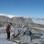
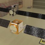
A recent research article in the journal Earthquake Science (EQS) reports on a novel use of GNSS data in seismology research performed in northeastern Tibet, the planet’s highest altitude area (elevations exceed 4500m).
The researchers report on the results of pairing GNSS data with seismic anisotropy data:
Key points
– Huyu Li, Yuan Gao, Honglin Jin, Upper crustal deformation characteristics in the northeastern Tibetan Plateau and its adjacent areas revealed by GNSS and anisotropy data, Earthquake Science, 2023.
- For the first time, Global Navigation Satellite System (GNSS) deformation data has been collected and used simultaneously with seismic anisotropy data to determine the regional distribution characteristics of surface and upper crustal deformation. Application of this technique in the northeastern Tibetan Plateau and its adjacent areas is summarized.
- Differences between surface and upper crustal deformation are analyzed, revealing differences in regional deformation mechanisms.
- Combining GNSS data with seismic anisotropy data can reveal depth variation differences in regional crustal deformation.
The GNSS data reveals surface deformations caused by seismic activity, the authors reporting that “GNSS velocity fields reflect the kinematic characteristics of tectonic activity, directly revealing a tectonic deformation pattern.”
Read the full text of the research article via ScienceDirect.


