The National Oceanic and Atmospheric Administration (NOAA)’s National Geodetic Survey (NGS) is spearheading enhancements to geospatial data and mapping in Alaska and the Arctic, and provides a summary of several projects to research the region’s dynamic environments.
A recently updated NOAA blog post details how NOAA aims to provide accurate positioning data crucial for weather forecasting, natural disaster management, and environmental monitoring.
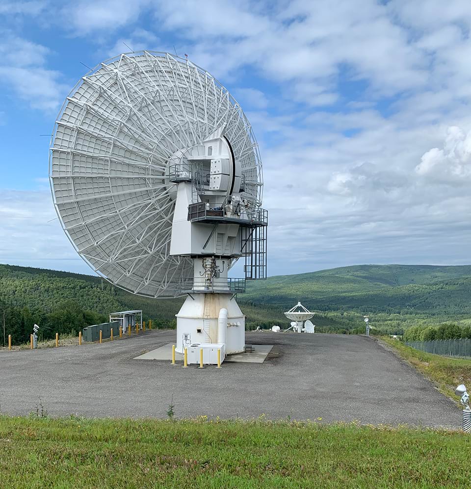
“The Global Positioning System, or GPS, revolutionized surveying beginning in the 1980s, but using the GPS to obtain accurate elevation measurements proved more challenging. The National Height Modernization Program, or NHMP, was initiated in the 1990s and 2000s to provide access to accurate, reliable heights nationally. Heights and gravity are defined by NOAA’s National Spatial Reference System, a coordinate system that defines latitude, longitude, heights, gravity, and shorelines throughout the U.S.”
Read the blog post for more background and milestones of Alaska and Arctic GNSS initiatives like the efforts at shoreline mapping and the GRAV-D project, underlining the importance of precise geospatial information in understanding and navigating the changing landscapes of Alaska and the Arctic.


