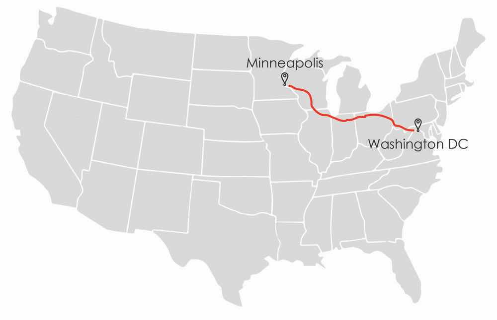
Autonomous vehicle research firm VSI Labs took its show on the road in September, as a three-member team was driven—by their autonomous car—on a thousand-mile journey from Minneapolis to Washington D.C. The Drive East employed Trimble’s precise point positioning (PPP) technology, Trimble RTX, delivering GNSS corrections via satellite or cellular.
Combined with high definition lane models in an HD map from HERE Technologies, RTX enabled the vehicle to know its absolute position, producing accurate lane-keeping across a large and diverse geographic area.
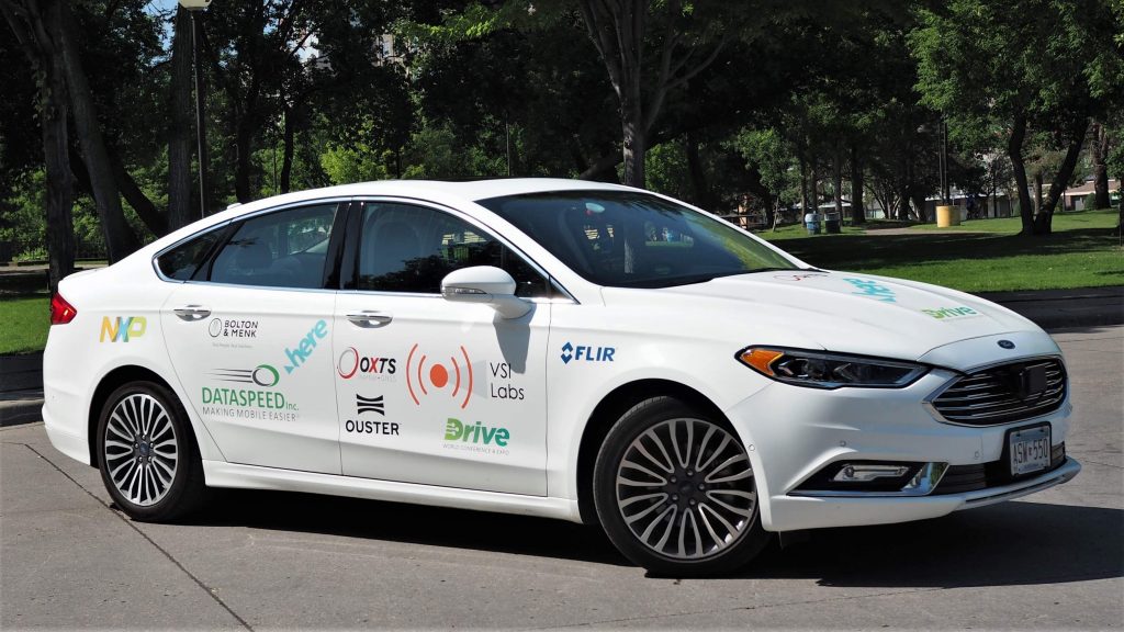
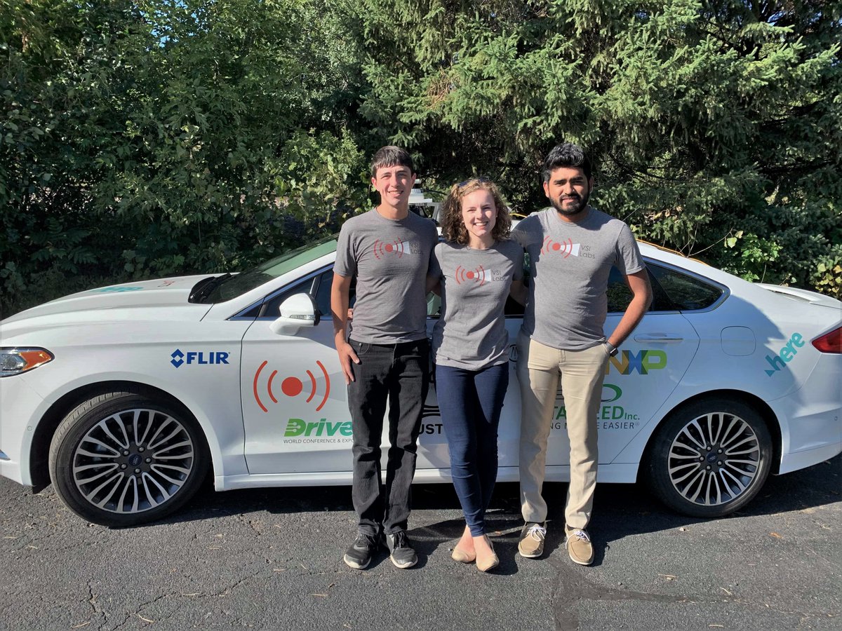
Three of VSI’s engineers departed in the automated 2018 Ford Fusion on September 27, riding (not driving) for two days, passing through Chicago and Pittsburgh to arrive in Washington D.C. One of the crew sat behind the wheel at all times, serving as a safety driver in case the autonomous system could not pull enough data to handle every situation.
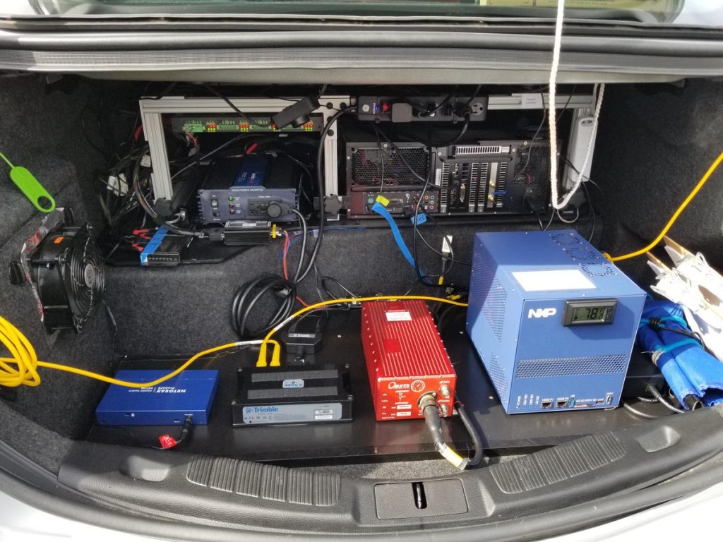
The vehicle is equipped with adaptive cruise control and a special steering system that calls on the map-based, lane-keeping technology for navigation. The technology is meant to keep the car in a single driving lane even during challenging road conditions. The system also uses high precision LiDAR, an advanced driver attention system, and a network of camera and radar sensors.
Many Level 2 automated solutions rely on vision-based technologies for lane-keeping; they localize using cameras to detect roadway lane markers. Using a lane model contained within the HERE HD map and localizing in real-time with Trimble RTX enabled the VSI vehicle to perform accurate and reliable lane-keeping functions regardless of lane-marker visibility.
In April of this year, Trimble announced its RTX Auto, a GNSS software library written for use in safety-critical automotive applications. The RTX Auto library can be integrated with any GNSS device and enables the decoding of Trimble’s RTX correction stream for centimeter-level absolute positioning accuracy, the company said.
The HERE HD Live Map is a cloud-based service comprised of various tiled mapping layers that are highly accurate and continuously updated to support connected ADAS and highly automated driving solutions. The layers are logically structured into Road Model, HD Lane Model, and HD Localization Model. The layers in the Road Model contain road topology, road
centerline geometry, and road-level attributes. The HD Lane Model layers contain lane topology data and lane-level attributes. The HD Localization Model includes various features to support localization strategies.
An earlier VSI Labs adventure, the 2,000-mile Drive West, went from Minneapolis to Santa Clara, California, focusing primarily on testing the combination of HERE Technologies’ high definition maps with real-time kinematic (RTK) ground-based positioning technology.
“It’s our job to test the various technologies available to the AV industry, and there’s no better way to do that than driving cross-country,” said Phil Magney, founder and principal of VSI Labs. “This journey isn’t about proving the technology, but rather to understand the performance of these two complementary technologies when subjected to variable conditions.”